Date: April 3, 2009
Total ascent: 375 m
Total descent: 375 m
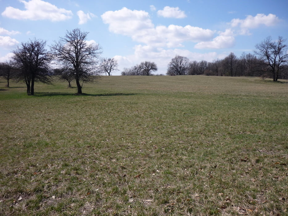
It was the first bigger spring-hike, still a little muddy, but the weather was great.
Can't wait for everything to be green again, 'cause at this time it was almost all-yellow and all-grey still
Tour to GCBorj cache and back.
Galería de rutas
Mapa de la ruta y perfil de altitud
Minimum height 244 m
Maximum height 447 m
Comentarios

Park at the summer-bob parking place which is a bit above of the castle of Visegrad.
They will charge you for ~900 HUF for the whole day
Follow the track to GCBorj :)
Tracks GPS
Puntos del track-
GPX / Garmin Map Source (gpx) download
-
TCX / Garmin Training Center® (tcx) download
-
CRS / Garmin Training Center® (crs) download
-
Google Earth (kml) download
-
G7ToWin (g7t) download
-
TTQV (trk) download
-
Overlay (ovl) download
-
Fugawi (txt) download
-
Kompass (DAV) Track (tk) download
-
Hoja de ruta (pdf) download
-
Original file of the author (gpx) download
Añadir a mis favoritos
Eliminar de mis favoritos
Edit tags
Open track
Mi valoración
Rate


