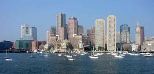
Más información en
http://www.thefreedomtrail.org/Mapa de la ruta y perfil de altitud
Minimum height -59 m
Maximum height 343 m
Comentarios
Tracks GPS
Puntos del track-
GPX / Garmin Map Source (gpx) download
-
TCX / Garmin Training Center® (tcx) download
-
CRS / Garmin Training Center® (crs) download
-
Google Earth (kml) download
-
G7ToWin (g7t) download
-
TTQV (trk) download
-
Overlay (ovl) download
-
Fugawi (txt) download
-
Kompass (DAV) Track (tk) download
-
Hoja de ruta (pdf) download
-
Original file of the author (gpx) download
Añadir a mis favoritos
Eliminar de mis favoritos
Edit tags
Open track
Mi valoración
Rate


Fantastic Tour In The City
Pls remark more comments to this tour.
The solution of Google earth are realy amazing.