


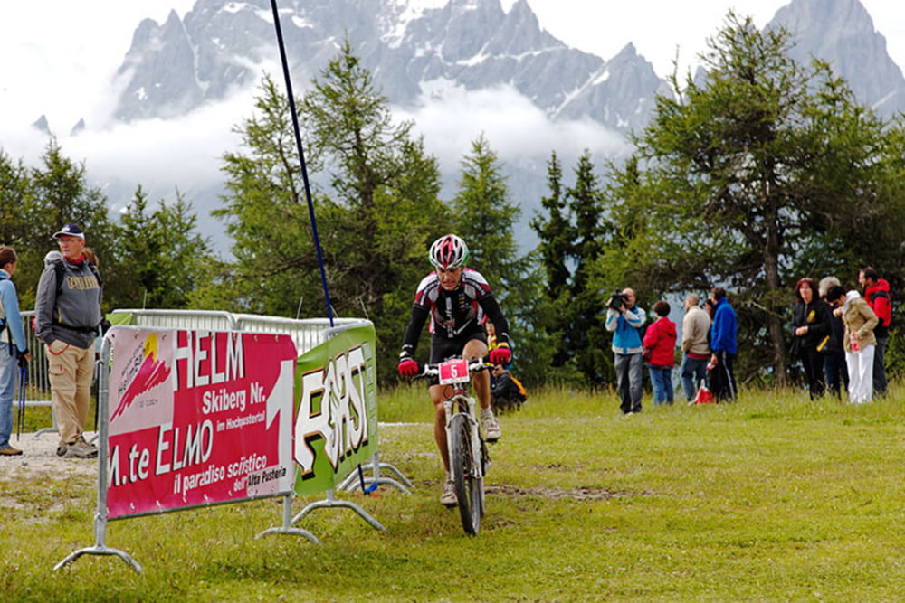
Immediately after the start, the athletes cycle along an asphalt road to Prags, and continue upwardly towards Plätzwiese. After enjoying the wonderful view over the Cristallo massiv, you can take it easy on the downhill to Schluderbach. After passing Lake Dürren (Dürrensee), the track continues on a cycle path to Toblach and it is here where the race splits into the two different course distances. The longer run proceeds to Innichen. The shorter stretch leads to the Silvester Valley continuing up to “Stadler” and carries on with a gravel path passing a farm named “Kurterhof”. After that a forest road guides the cyclists all the way to the Eggerberg, until you finally reach the 5 kilometre long slope returning to Niederdorf.
Más información en
http://www.dolomitisuperbike.com/en/courses.htmlGalería de rutas
Mapa de la ruta y perfil de altitud
Minimum height 1057 m
Maximum height 1992 m
More about the tour author

|
Dolomiti_Superbike |
Comentarios

Tracks GPS
Puntos del track-
GPX / Garmin Map Source (gpx) download
-
TCX / Garmin Training Center® (tcx) download
-
CRS / Garmin Training Center® (crs) download
-
Google Earth (kml) download
-
G7ToWin (g7t) download
-
TTQV (trk) download
-
Overlay (ovl) download
-
Fugawi (txt) download
-
Kompass (DAV) Track (tk) download
-
Hoja de ruta (pdf) download
-
Original file of the author (gpx) download
More about the tour author
|
|
Dolomiti_Superbike |
Añadir a mis favoritos
Eliminar de mis favoritos
Edit tags
Open track
Mi valoración
Rate