


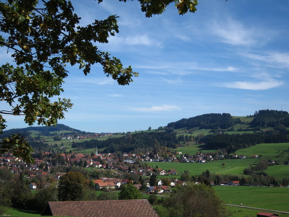
Sehr schöne abwechslungsreiche Rundtour, durch das hügelige Westallgäu mit herrlichen Aussichten.
Wegbeschaffenheit: ca. 70% auf verkehrsarme Teerstraßen, den Rest auf Wald, Wiese, Kies und Schotterwegen.
Tourbeschreibung: Vom Parkplatz über Kohlplatz - Staudach - Mapprechts - Oberhäuser - Heimenkirch - Goßholz - Lindenberg - Haus - Scheidegg - Ablers - Weiler - Rentershofen - Röthenbach - Malleichen - Hofs - Aschen - Moos - Gießen - Epplings zum Parkplatz.
http://www.lindenberg.de/index.shtml?homepage
http://www.scheidegg.de/index.shtml?homepage
Más información en
http://www.vg-argental.de/roethenbach/index.php?idcat=13Galería de rutas


Mapa de la ruta y perfil de altitud
Minimum height 549 m
Maximum height 826 m
More about the tour author
|
|
W-C |
Comentarios
Parken:
In Wangen nähe Gallusbrücke, Parkplatz P14 (gebührenfrei)
Parkplatz - Koordinaten für dein Navigationsgerät
N 47° 41. 235´
E 9° 50. 343´
Tracks GPS
Puntos del track-
GPX / Garmin Map Source (gpx) download
-
TCX / Garmin Training Center® (tcx) download
-
CRS / Garmin Training Center® (crs) download
-
Google Earth (kml) download
-
G7ToWin (g7t) download
-
TTQV (trk) download
-
Overlay (ovl) download
-
Fugawi (txt) download
-
Kompass (DAV) Track (tk) download
-
Hoja de ruta (pdf) download
-
Original file of the author (gpx) download
More about the tour author
|
|
W-C |
Añadir a mis favoritos
Eliminar de mis favoritos
Edit tags
Open track
Mi valoración
Rate
Allgäutour
Danke fürs reinstellen.
Gruß, Huti