


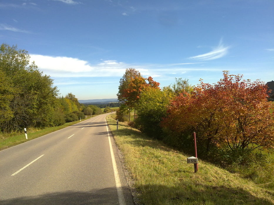
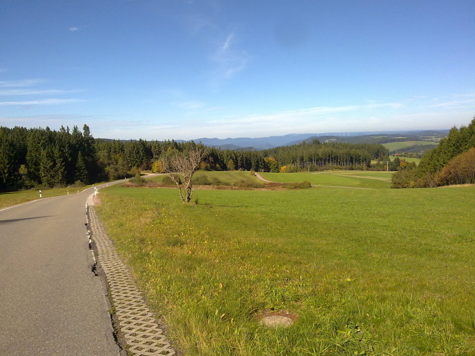
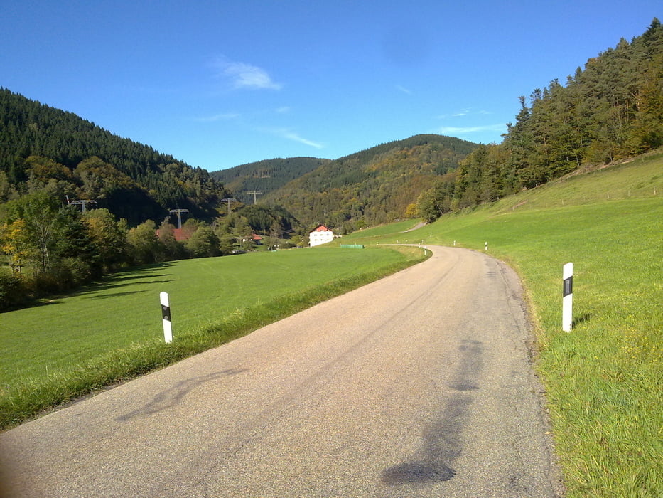
Heute ging es einmal über den Schwarzwaldkam ins Neckartal nach Villingen. Loß radelt man bis Gutach und weiter leicht ansteigend bis Obersimonswald, danach etwas steiler so zwischen 8 - 10 % weiter bis hoch auf die B 500 und wieder runter nach Furtwangen. Leicht auf und ab ging es zur Linachtalsperre und weiter nach Villingen. Ein wenig durch die Stadt und dann ab ins Brigachtal und Kirnachtal, im Herbst wirklich einen Ausflug wert. Vorbei an Maria Tann (Bild) gings nach Triberg wo ein Anstieg bis hinauf zur Wilhelmshöhe wartete. Wieder Bergab rollt man erst durchs Obere Prechtal, dann das Prechtal und das Elztal hinunter bis nach Waldkirch.
Galería de rutas

Mapa de la ruta y perfil de altitud
Minimum height 248 m
Maximum height 1022 m
More about the tour author
|
|
titanbiker |
Comentarios

Tracks GPS
Puntos del track-
GPX / Garmin Map Source (gpx) download
-
TCX / Garmin Training Center® (tcx) download
-
CRS / Garmin Training Center® (crs) download
-
Google Earth (kml) download
-
G7ToWin (g7t) download
-
TTQV (trk) download
-
Overlay (ovl) download
-
Fugawi (txt) download
-
Kompass (DAV) Track (tk) download
-
Hoja de ruta (pdf) download
-
Original file of the author (gpx) download
More about the tour author
|
|
titanbiker |
Añadir a mis favoritos
Eliminar de mis favoritos
Edit tags
Open track
Mi valoración
Rate