


Schöne Runde südlich der A10.
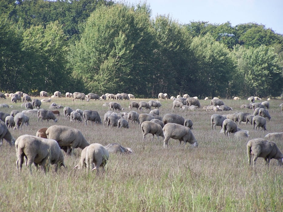
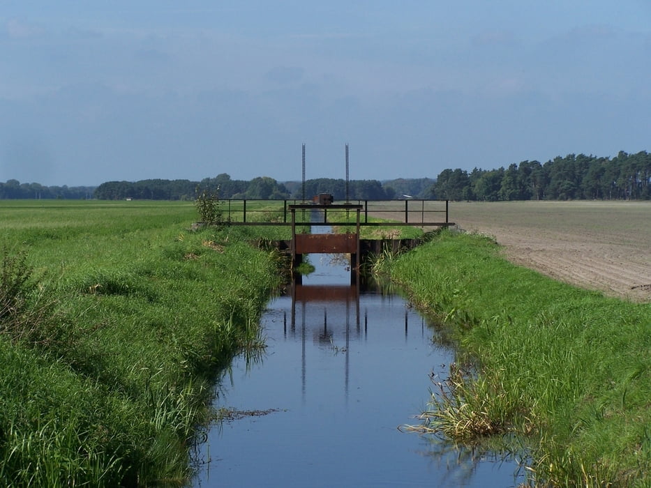
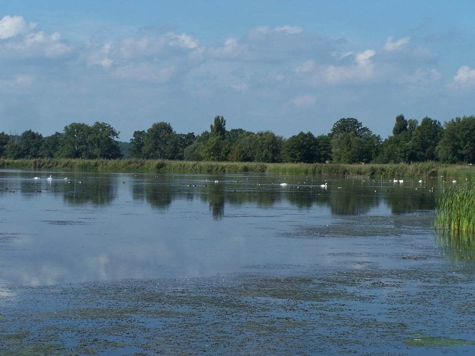
Vom Bahnhof Ludwigsfelde zuersteinmal unter der Bahn durch und auf einem schönen Radweg nach Wietstock. Am Ortsende nach rechts. Der Weg wird etwas rumpelig. Märisch Wilmersdorf durchqueren und durch die Felder nach Trebbin. Durch die Stadt hindurch und nach Glau. Die Qualität des Weges nimmt wieder zu. Landschaftliches Highlight ist der Blankensee. Der Steg ist immer ein Höhepunkt. Danach nach Norden und vor Schiass in Richtng Tremsdorf abbiegen.
Noch vor Tremsdorf nach links um Gröben zu erreichen. In Gröben nach rechts. Die kleine Dorfkirche bei Gröben war Schauplatz einer Filmhochzeit. Nett eine aufgetakelte Kirche mit jeder Menge Filmleute zu sehen. Schade dass ich dort nie heiraten werde. Ich habe meine Traumfrau schon gefunden. Aber für diejenigen die eine location suchen...
Am Nordufer des Sietener Sees weiter nach Osten. Die Wegsuche war ein bisschen schwierig. Landschaft aber super.
Von Sieten dann schnell zurück zum Ausgangspunkt.
Más información en
http://de.wikipedia.org/wiki/LudwigsfeldeGalería de rutas
Mapa de la ruta y perfil de altitud
Minimum height 31 m
Maximum height 49 m
More about the tour author
|
|
Pheinz |
Comentarios

Bahnhof Ludwigsfelde.
Tracks GPS
Puntos del track-
GPX / Garmin Map Source (gpx) download
-
TCX / Garmin Training Center® (tcx) download
-
CRS / Garmin Training Center® (crs) download
-
Google Earth (kml) download
-
G7ToWin (g7t) download
-
TTQV (trk) download
-
Overlay (ovl) download
-
Fugawi (txt) download
-
Kompass (DAV) Track (tk) download
-
Hoja de ruta (pdf) download
-
Original file of the author (gpx) download
More about the tour author
|
|
Pheinz |
Añadir a mis favoritos
Eliminar de mis favoritos
Edit tags
Open track
Mi valoración
Rate