
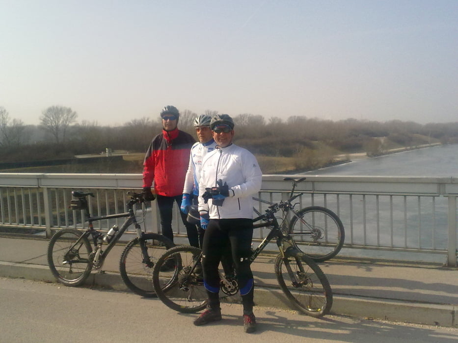

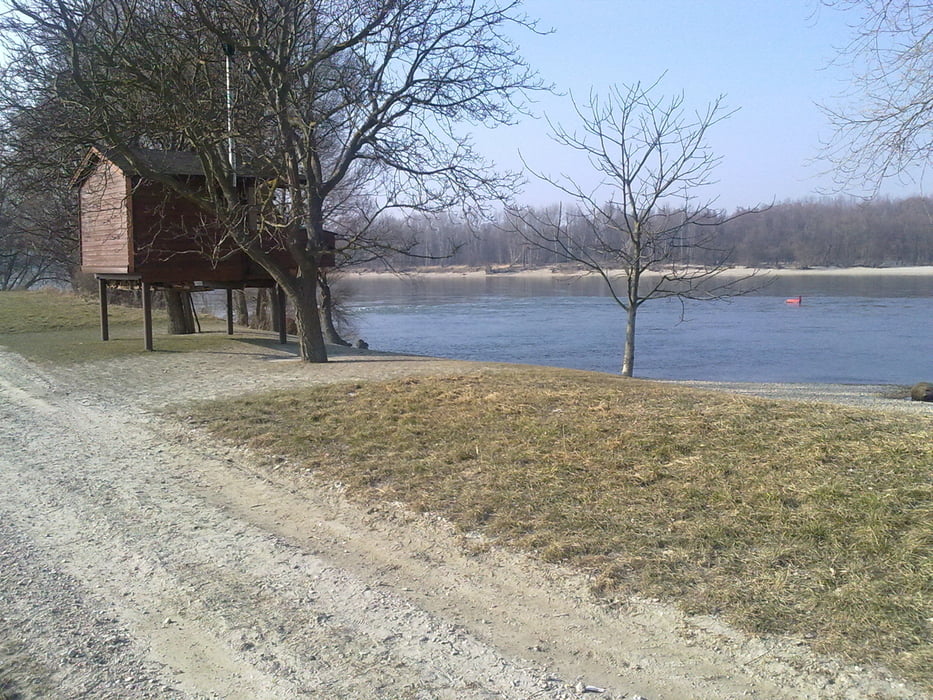
Von Unterwalterdorf nach Mitterndorf, Velm, Himberg, am Eurovelo 9 bis Schwechat, auf die Donauinsel bis zur Steinspornbrücke, nach Süden zum Wehr 2, die Donauauen entlang bis Fischamend, über Schwadorf und Ebergassing nach Mitterndorf und wieder zurück nach Unterwaltersdorf
Galería de rutas


Mapa de la ruta y perfil de altitud
Minimum height 140 m
Maximum height 183 m
More about the tour author
|
|
Radclub-Trumau |
Comentarios

Tracks GPS
Puntos del track-
GPX / Garmin Map Source (gpx) download
-
TCX / Garmin Training Center® (tcx) download
-
CRS / Garmin Training Center® (crs) download
-
Google Earth (kml) download
-
G7ToWin (g7t) download
-
TTQV (trk) download
-
Overlay (ovl) download
-
Fugawi (txt) download
-
Kompass (DAV) Track (tk) download
-
Hoja de ruta (pdf) download
-
Original file of the author (tcx) download
More about the tour author
|
|
Radclub-Trumau |
Añadir a mis favoritos
Eliminar de mis favoritos
Edit tags
Open track
Mi valoración
Rate