
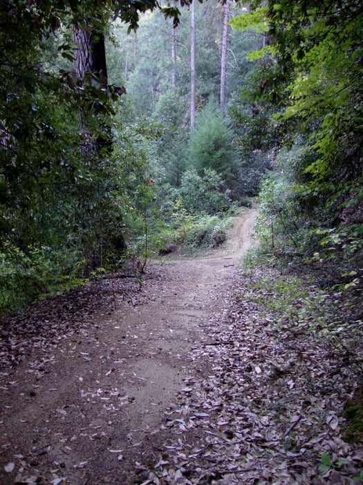

Bullard's Bar is a beautiful area in which to ride. The loop here is comprised of some fire road, but mostly single track. The longest portion of the ride snakes above the reservoir on rolling, twisty single track. Be careful! There is some slight exposure here - the trail is narrow and some areas have the potential for a long fall. At 11 miles, this ride brings you back to your vehicle. You can rest and refuel before doing the next ten miles, or call it a day if you're looking for a shorter ride. Either way, this ride will suit riders of most skill levels and treat everyone with beautiful trail and views!
Length: 11 miles if you ride from the loop back to the parking lot. Add 10 miles if you plan to ride the vista point trail.
Mapa de la ruta y perfil de altitud
Minimum height 617 m
Maximum height 876 m
More about the tour author

|
happyfloh |
Comentarios

Trail Head: At the dark day parking area. Follow Hwy 49 approximately 20 miles to Marysville Rd and turn left. Follow for three miles to Dark Day Rd., and turn right. Park at the boat launch area at the bottom of Dark Day Rd.
Tracks GPS
Puntos del track-
GPX / Garmin Map Source (gpx) download
-
TCX / Garmin Training Center® (tcx) download
-
CRS / Garmin Training Center® (crs) download
-
Google Earth (kml) download
-
G7ToWin (g7t) download
-
TTQV (trk) download
-
Overlay (ovl) download
-
Fugawi (txt) download
-
Kompass (DAV) Track (tk) download
-
Hoja de ruta (pdf) download
-
Original file of the author (gpx) download
More about the tour author
|
|
happyfloh |
Añadir a mis favoritos
Eliminar de mis favoritos
Edit tags
Open track
Mi valoración
Rate