
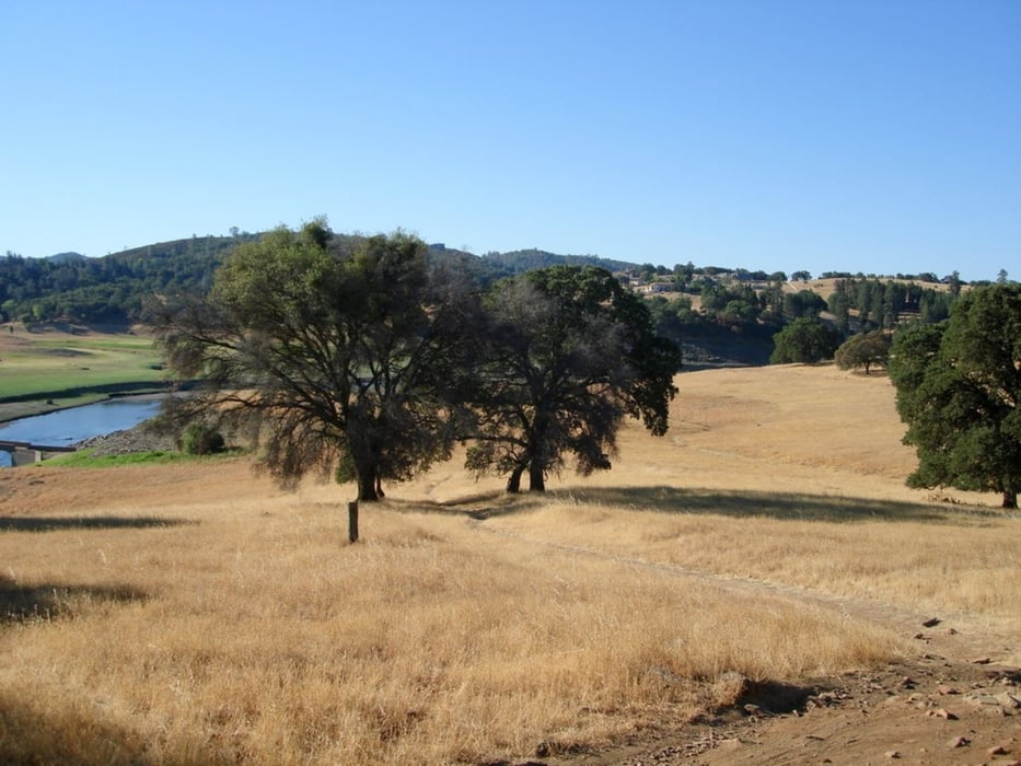

Salmon Falls is a beautiful trail with a little bit of everything. It contains rocky, technical sections, fast, tight and covered single track and beautiful views of Folsom Lake. Early in the season this trail will be bordered with a lot of poison oak, so be careful.
Mapa de la ruta y perfil de altitud
Minimum height 137 m
Maximum height 202 m
More about the tour author

|
happyfloh |
Comentarios

Trail Head: Salmon falls is ~5 miles from Hwy 50 at the El Dorado hills Bllvd exit. Go north, cross Green Valley Rd and contineu straight. At this point the road turns into Salmon Falls road. Continue driving till you get to the bridge that crosses the south fork of the American river. Park either before the bridge or just past it on the left at the trail head.
Tracks GPS
Puntos del track-
GPX / Garmin Map Source (gpx) download
-
TCX / Garmin Training Center® (tcx) download
-
CRS / Garmin Training Center® (crs) download
-
Google Earth (kml) download
-
G7ToWin (g7t) download
-
TTQV (trk) download
-
Overlay (ovl) download
-
Fugawi (txt) download
-
Kompass (DAV) Track (tk) download
-
Hoja de ruta (pdf) download
-
Original file of the author (gpx) download
More about the tour author
|
|
happyfloh |
Añadir a mis favoritos
Eliminar de mis favoritos
Edit tags
Open track
Mi valoración
Rate