


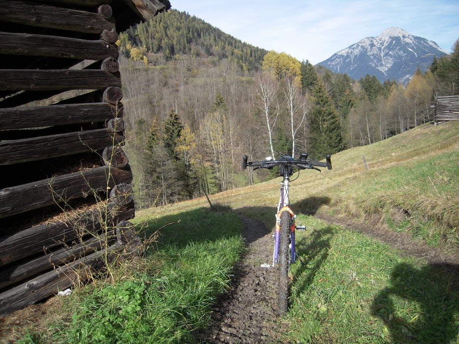
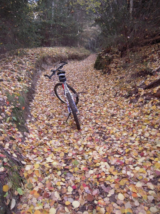
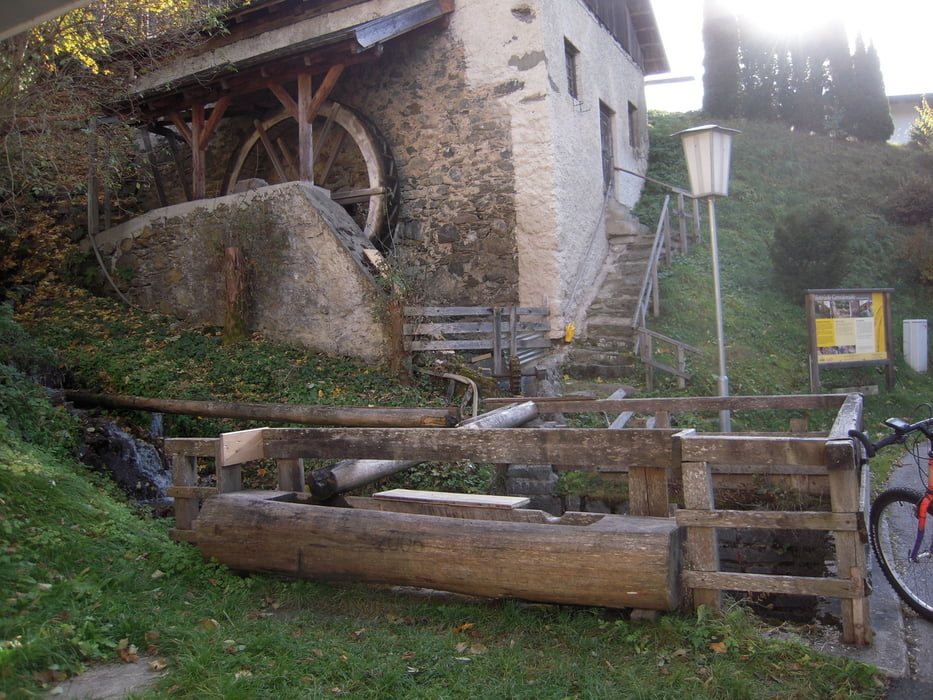
Ausgangspunkt ist Jerzens. Über Kienberg - Matzlewald - Langegerte - Bichl nach Wenns. Überquerung der Landesstraße beim "Pitztaler Hof" ins Unterdorf. Am Ende des Dorfes links weg über FReldweg und steile Abfahrt über einen Steig bis zur Pitztaler Ache. Über die Holzbrücke auf die asphaltierte Straße in Richtung Wald - Ried halten. Weiter Richtung Klärwerk, rechts auf Feldweg, Beginn eines steilen Ziehweges. Großteils schieben bis Häuser von Ried sichtbar werden. An der alten Mühle vorbei und wieder rechts über alte Straße in Richtung Leins bis zur asphaltierten Straße. Verlauf folgen bis zum Scheitelpunkt - Gischlewies. Dort nach links durch den Wald nach Falsterwies und zurück nach Jerzens. Die Tour läßt sich umgekehrt fahren - allerdings sind die Abfahrten auf dem Steig von Ried nach Pitzeebene steil.
Galería de rutas
Mapa de la ruta y perfil de altitud
Minimum height 831 m
Maximum height 1263 m
More about the tour author

|
rauth |
Comentarios

Tracks GPS
Puntos del track-
GPX / Garmin Map Source (gpx) download
-
TCX / Garmin Training Center® (tcx) download
-
CRS / Garmin Training Center® (crs) download
-
Google Earth (kml) download
-
G7ToWin (g7t) download
-
TTQV (trk) download
-
Overlay (ovl) download
-
Fugawi (txt) download
-
Kompass (DAV) Track (tk) download
-
Hoja de ruta (pdf) download
-
Original file of the author (gpx) download
More about the tour author
|
|
rauth |
Añadir a mis favoritos
Eliminar de mis favoritos
Edit tags
Open track
Mi valoración
Rate