Login

¿Ha olvidado su contraseña?

Las cookies tienen que estar habilitadas!
Las cookies no están habilitadas en tu navegador. Por favor, modifica la configuración antes de continuar.

Not a member yet?

Register now
Login

Available for registred users only

Log in to use this feature.

¿Ha olvidado su contraseña?

Las cookies tienen que estar habilitadas!
Las cookies no están habilitadas en tu navegador. Por favor, modifica la configuración antes de continuar.

Not a member yet?

Register now
Filtro
Categorías
Filtros avanzados
  • Distancia (km)
  • Altitud en metros
Guardar filtro Restablecer filtro

TrackRank

QRCode

Technical data

Distancia39,7 km Altitud en metros256 m Descenso218 m Duración03:00 h:m Fecha29.03.2012
Valoraciones Autor Paisaje Diversión Condición Técnica

Estadística

559 Visitas Valoraciones 59 Descargas Promedio
Rate
  • Hoja de ruta
  • Punto de partida
  • Descargas
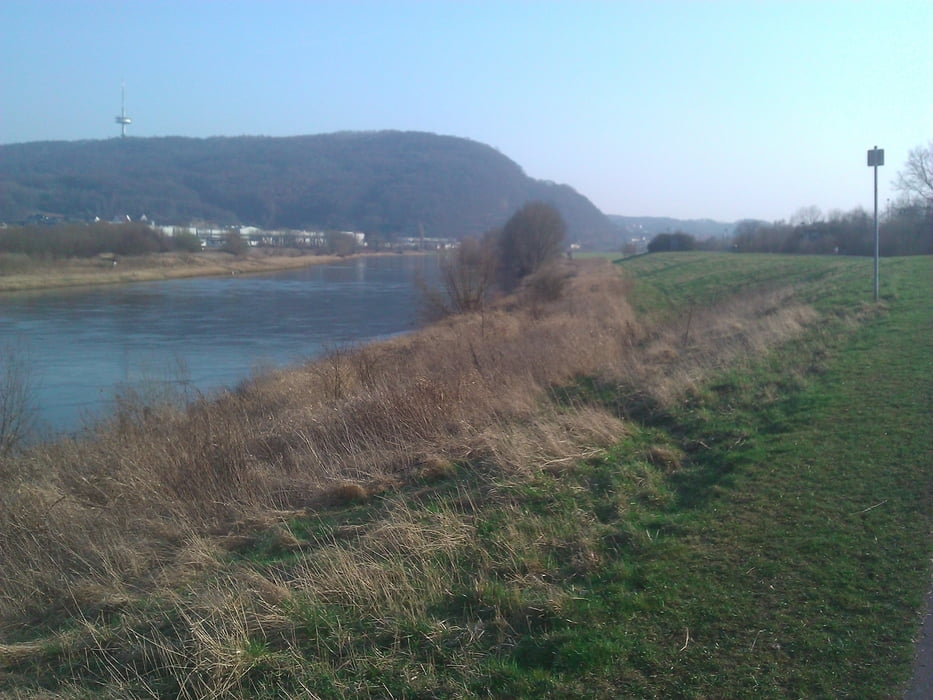
Eine kleine Runde dies- und jenseits des Wiehengebirges mit einer atemberaubenden Aussicht. Sehr zu empfehlen ist der Besuch von Bergkirchen; die Serpentinenstraße, die dorthin führt, verfügt allerdings weder über einen Radweg noch über einen Seitenstreifen. Daher sollte man dieses Stück am Besten nur am Wochenende nutzen, da ist der Autoverkehr nicht so stark. Auch ist hier schon etwas "Puste" und eine Portion "Schmalz in den Beinen" gefragt. Aber nach knapp 2 Kilometern ist der Aufstieg geschafft und man kann sich an der Landschaft erfreuen. Sehenswert ist die Kaiserapotheke mit der Büste von Wilhelm II und der daran angebrachten Gedenktafel.

Galería de rutas

Mapa de la ruta y perfil de altitud

  • Open Street Map
  • Google
Minimum height 14 m Maximum height 153 m Vista detallada

More about the tour author

Herbie1959
Miembro desde 2009

Enviar mensaje privado

Comentarios

Gut per Bahn zu erreichen, Station Bad Oeynhausen Hbf.

Tracks GPS

Puntos del track
  • GPX / Garmin Map Source (gpx) download
  • TCX / Garmin Training Center® (tcx) download
  • CRS / Garmin Training Center® (crs) download
  • Google Earth (kml) download
  • G7ToWin (g7t) download
  • TTQV (trk) download
  • Overlay (ovl) download
  • Fugawi (txt) download
  • Kompass (DAV) Track (tk) download
  • Hoja de ruta (pdf) download
  • Original file of the author (gpx) download

More about the tour author

Herbie1959
Miembro desde 2009

Enviar mensaje privado
Share track
Añadir a mis favoritos
Eliminar de mis favoritos
Edit tags
Mi valoración
Rate
Ruta: Bad Oeynhausen-Porta Westfalica-Bergkirchen-Bad Oeynhausen
Tipo: Ciclorrutas
Distancia: 39,7 km
valorizado al:
Duración:
Day(s)
Hour(s)
Minute(s)
Valoración: Paisaje Diversión Condición Técnica