


Eine eher anstregende Tour von Rheinbrohl ins Wiedtal und wieder zurück.
Die Strecke führt weitestgehend über die Wanderwege
- Westerwaldsteig
- Wiedweg
Startpunkt ist in Rheinbrohl/Arienheller.
Von dort aus über den Westerwaldsteig den Hohlweg bergauf, über Gut Dielsberg bis zur Turnerhütte.
Dort rechts Richtung Rockenfeld abbiegen, die erste Abbiegemöglichkeit jedoch wieder links runter ins Nonnenbachtal.
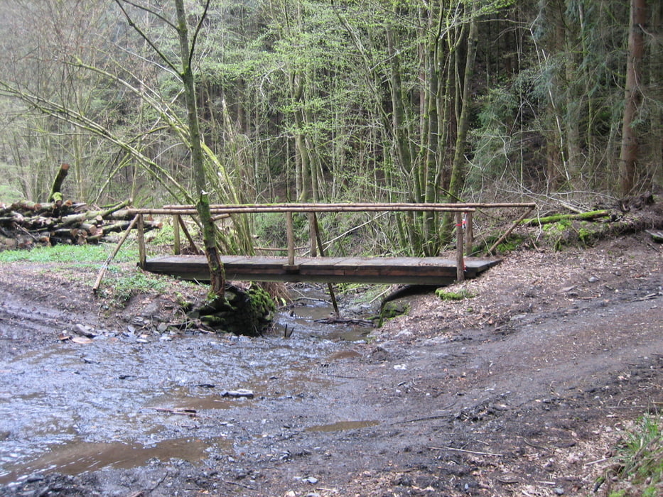
Das Nonnenbachtal hinab fahren bis zum Forsthaus Nonnenbach. Links abbiegen Richtung Niederbreitbach.
Nach dem Ortsschild rechts auf den Wiedweg abbiegen.
Dem Wiedweg folgen bis Altwied.
Von dort aus über den Rheinhöhenweg via Monrepos und an Rockenfeld vorbei zurück nach Rheinbrohl.
VORSICHT:
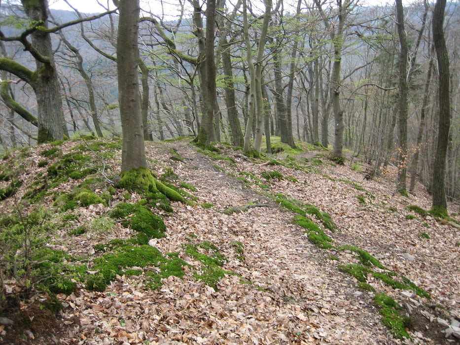
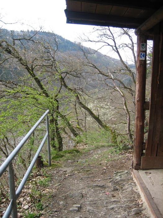
Der Wiedweg besteht nahezu durchgehend aus teilweise technisch anspruchsvollen Singletrails.
Wenn es einem zu anspruchsvoll werden sollte kann man auf die L255 wechseln.
Viel Spaß beim ausprobieren!
Galería de rutas

Mapa de la ruta y perfil de altitud
Minimum height 65 m
Maximum height 374 m
More about the tour author
|
|
MTB_CC |
Comentarios

Start in Arienheller/Rheinbrohl
Tracks GPS
Puntos del track-
GPX / Garmin Map Source (gpx) download
-
TCX / Garmin Training Center® (tcx) download
-
CRS / Garmin Training Center® (crs) download
-
Google Earth (kml) download
-
G7ToWin (g7t) download
-
TTQV (trk) download
-
Overlay (ovl) download
-
Fugawi (txt) download
-
Kompass (DAV) Track (tk) download
-
Hoja de ruta (pdf) download
-
Original file of the author (tcx) download
More about the tour author
|
|
MTB_CC |
Añadir a mis favoritos
Eliminar de mis favoritos
Edit tags
Open track
Mi valoración
Rate