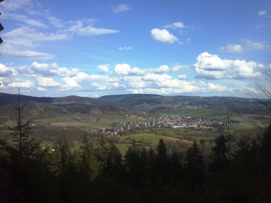
Start war in Wahles. Dann ging es über den Wahleser Sportplatz auf die Höhe Richtung Waldhausstraße. Die Waldhausstraße entlang bis auf den Abzweig Gieselberg/Mordfleck. Am Mordfleck vorbei (Foto) zum Auwallenburger Turm. Von dort zum Trusetaler Wasserfall über Laudenbach nach Elmenthal. Anschließend über die "Hofbergs-Lücke" nach Trustal (Herges), übers "Alt Herges" und das Gewerbegebiet wieder nach Wahles!
Viel Spaßß beim Nachfahren !!!!!!
Mapa de la ruta y perfil de altitud
Minimum height 333 m
Maximum height 625 m
Comentarios
Tracks GPS
Puntos del track-
GPX / Garmin Map Source (gpx) download
-
TCX / Garmin Training Center® (tcx) download
-
CRS / Garmin Training Center® (crs) download
-
Google Earth (kml) download
-
G7ToWin (g7t) download
-
TTQV (trk) download
-
Overlay (ovl) download
-
Fugawi (txt) download
-
Kompass (DAV) Track (tk) download
-
Hoja de ruta (pdf) download
-
Original file of the author (gpx) download
Añadir a mis favoritos
Eliminar de mis favoritos
Edit tags
Open track
Mi valoración
Rate


Lob
Kam mal wieder mit nem Grinsen zurück. So soll das sein!
Grüße aus Nordhessen!
Berghexe