
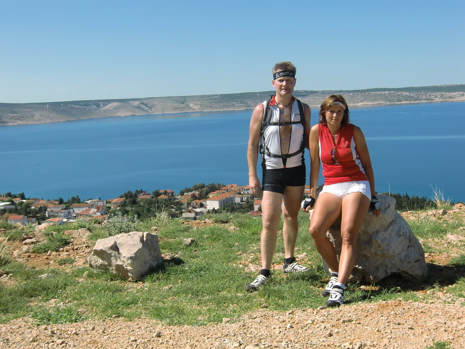

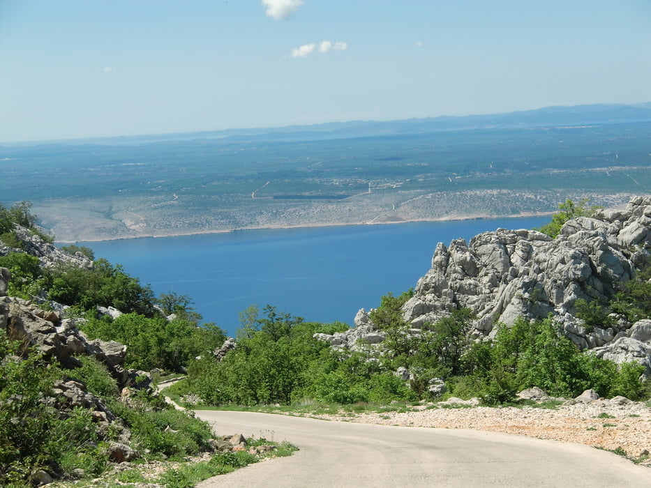
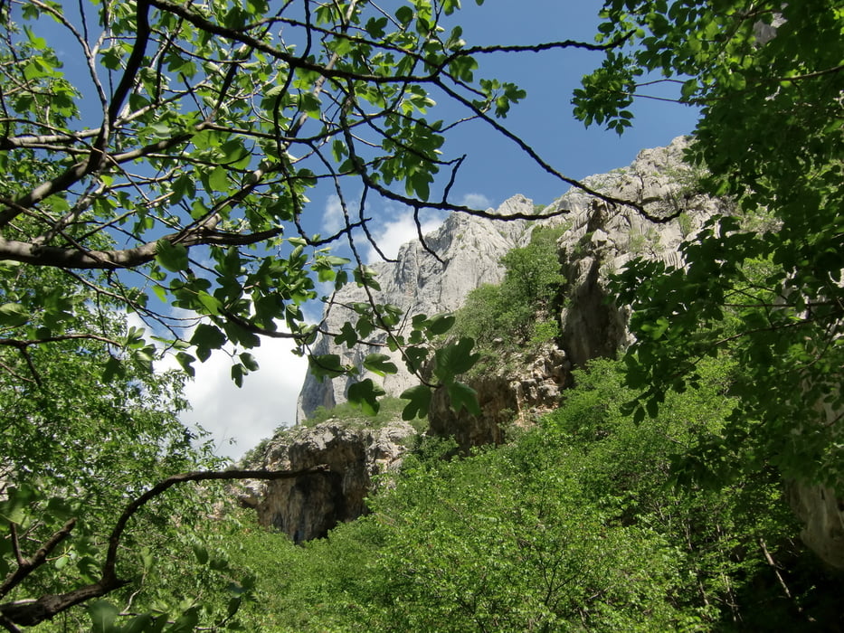
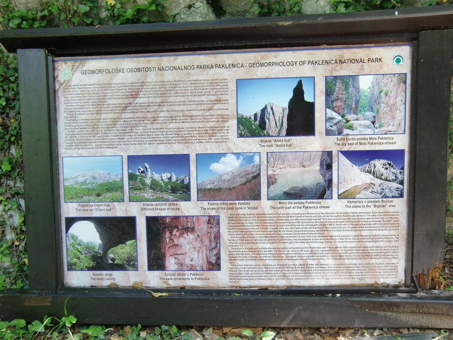
- Starigrad-Nationalpark Paklenica,42km und 1009hm,Ausgangspunkt war Modric,von da ging es nach Starigrad,auf einer sehr steilen Asphaltstrasse ging es auf 720m,die letzten 30 Minuten mussten wir zum höchsten Punkt schieben und tragen,aber das tolle kam ja noch,runter zum Nationalpark Paklenica mussten wir wieder 1,5 Stunden schieben,aber was uns unten erwartete war ein Genuss für das Auge,muss man gesehen haben….dann ging es wieder nach Starigrad und zurück nach Modric…….
Galerie du tour

Carte du tour et altitude
Minimum height 5 m
Maximum height 723 m
More about the tour author
|
|
plazo100 |
Commentaires

Tracks GPS
Trackpoints-
GPX / Garmin Map Source (gpx) download
-
TCX / Garmin Training Center® (tcx) download
-
CRS / Garmin Training Center® (crs) download
-
Google Earth (kml) download
-
G7ToWin (g7t) download
-
TTQV (trk) download
-
Overlay (ovl) download
-
Fugawi (txt) download
-
Kompass (DAV) Track (tk) download
-
Feuille de tours (pdf) download
-
Original file of the author (gpx) download
More about the tour author
|
|
plazo100 |
Add to my favorites
Remove from my favorites
Edit tags
Open track
My score
Rate