


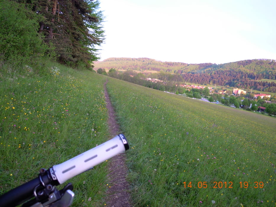
Schöne kleine knackige Kurztour, mit sportlichen Anstiegen, flowige und rüttligen Trails... von allem Etwas dabei...
Den Höhenweg oberhalb von Ebingen wird auch oft von Fußgängern und Hundebesitzern genutzt... und der Trail (Traufgang) zum Schnecklesfelsen von Wanderern... kann an Wochenenden etwas eng werden... gegenseitige Rücksicht ist da gefragt.
Viel Spaß dabei...
Galerie du tour


Carte du tour et altitude
Minimum height 716 m
Maximum height 957 m
More about the tour author
|
|
t-runner |
Commentaires

Parken: Kino, Parkplatz am Ochsenberg (Traufgang-Beschilderung ab Kreisverkehr bei der AVIA-Tankstelle)
Einkehrmöglichkeit: Gasthaus Ochsenberg, siehe Beschilderung immer wieder im Wald
Tracks GPS
Trackpoints-
GPX / Garmin Map Source (gpx) download
-
TCX / Garmin Training Center® (tcx) download
-
CRS / Garmin Training Center® (crs) download
-
Google Earth (kml) download
-
G7ToWin (g7t) download
-
TTQV (trk) download
-
Overlay (ovl) download
-
Fugawi (txt) download
-
Kompass (DAV) Track (tk) download
-
Feuille de tours (pdf) download
-
Original file of the author (gpx) download
More about the tour author
|
|
t-runner |
Add to my favorites
Remove from my favorites
Edit tags
Open track
My score
Rate