Login

Login oublié ?

Cookies have to be accepted!
Your browser's cookie functionality is disabled. Please enable this functionality.

Not a member yet?

Register now
Login

Available for registred users only

Log in to use this feature.

Login oublié ?

Cookies have to be accepted!
Your browser's cookie functionality is disabled. Please enable this functionality.

Not a member yet?

Register now
Filter
Catégories
Advanced filters
  • Longueur (km)
  • Altimètre
Enregistrer le filtre Reset filter

TrackRank

QRCode

Technical data

Longueur21,3 km Altimètre889 m Way down782 m Durée02:15 h:m Date18.05.2012
Evaluations Author User Paysage Aspect amusement Condition Technique

Statistiques

5799 Vues 4 Evaluations 210 Téléchargements 2.50 Moyenne
Rate
  • Feuille de tours
  • Arrivée
  • Téléchargements

Teilnehmer:

Christ B., Peter B, Walter B., Stefan A., Bernhard E., Jürgen Ö., Bernd P., Roland K., Bernd S., Hannes S., Tom S.


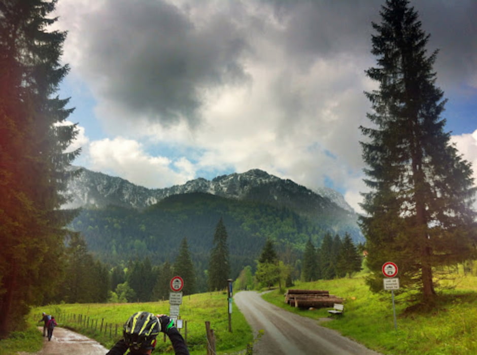
Einfache Tour mit Einkehrmöglichkeit auf der Wirtsalm und Tregleralm. Steile Abfahrt von der Tregleralm nach Bad Feilnbach.

Galerie du tour

Carte du tour et altitude

  • Open Street Map
  • Google
Minimum height 421 m Maximum height 1210 m Vue de détail

More about the tour author

asso
Member since 2008

Send private message

Commentaires

Tracks GPS

Trackpoints
  • GPX / Garmin Map Source (gpx) download
  • TCX / Garmin Training Center® (tcx) download
  • CRS / Garmin Training Center® (crs) download
  • Google Earth (kml) download
  • G7ToWin (g7t) download
  • TTQV (trk) download
  • Overlay (ovl) download
  • Fugawi (txt) download
  • Kompass (DAV) Track (tk) download
  • Feuille de tours (pdf) download
  • Original file of the author (gpx) download

More about the tour author

asso
Member since 2008

Send private message
Share track
Add to my favorites
Remove from my favorites
Edit tags
My score
Rate
Tour: Tregleralm
Cat.: Mountainbike
Longueur: 21,3 km
Evaluated on:
Durée:
Day(s)
Hour(s)
Minute(s)
Evaluation: Paysage Aspect amusement Condition Technique