


Start der Tour ist der Bahnhof in Mühlacker, Ende der Bahnhof in Schopfloch.
Die Tour verläuft bis auf kurze Abstecher entlang dem Gäurandweg des Schwarzwald Vereines und ist somit gut ausgeschildert.
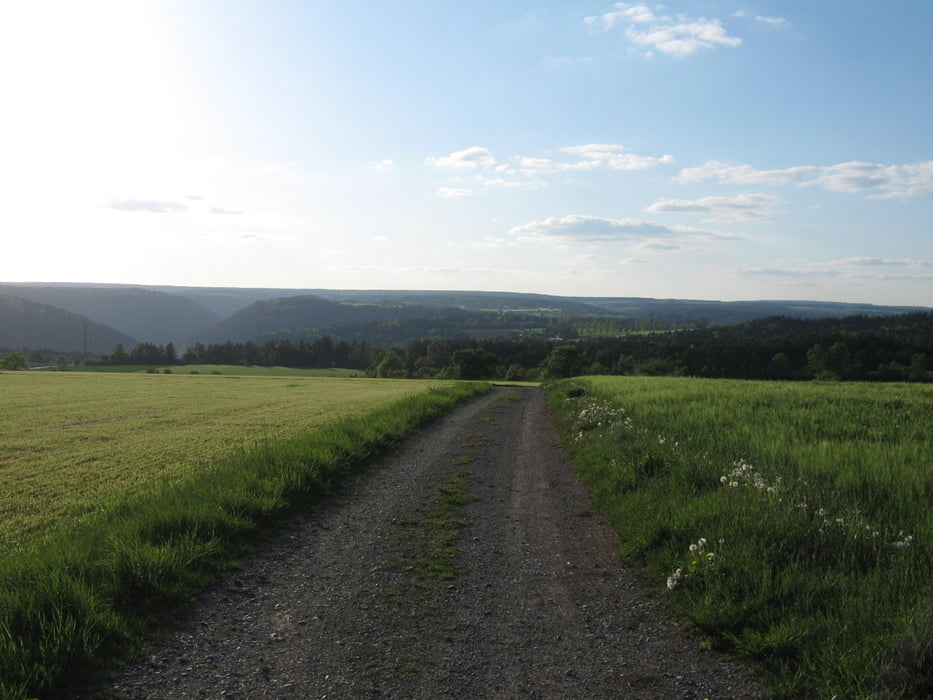
Die Wege sind hauptsächlich geteert oder geschottert, nur kurze Passagen sind naturbelassen.
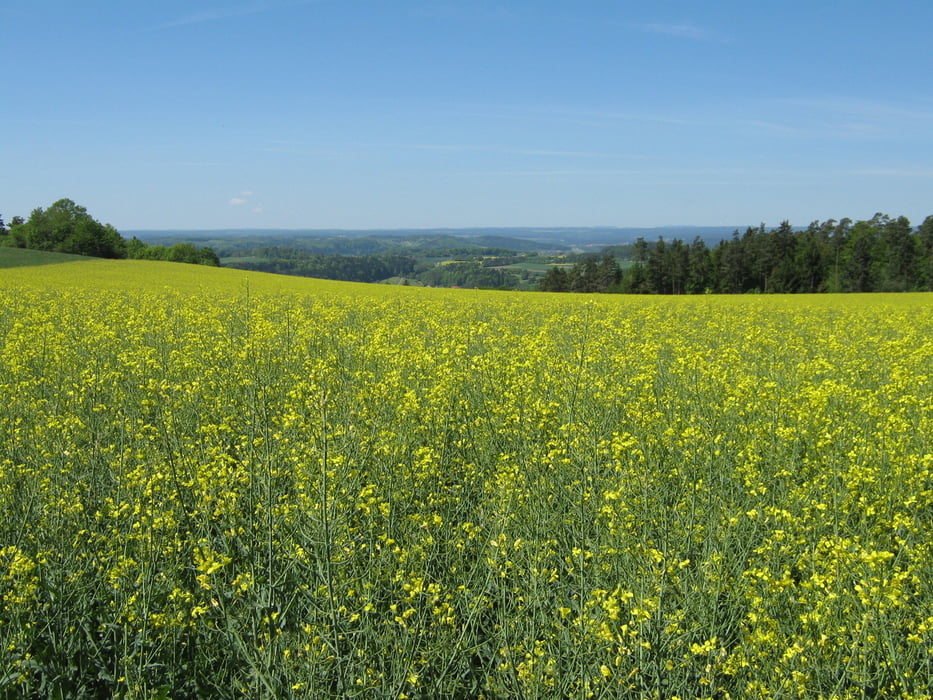
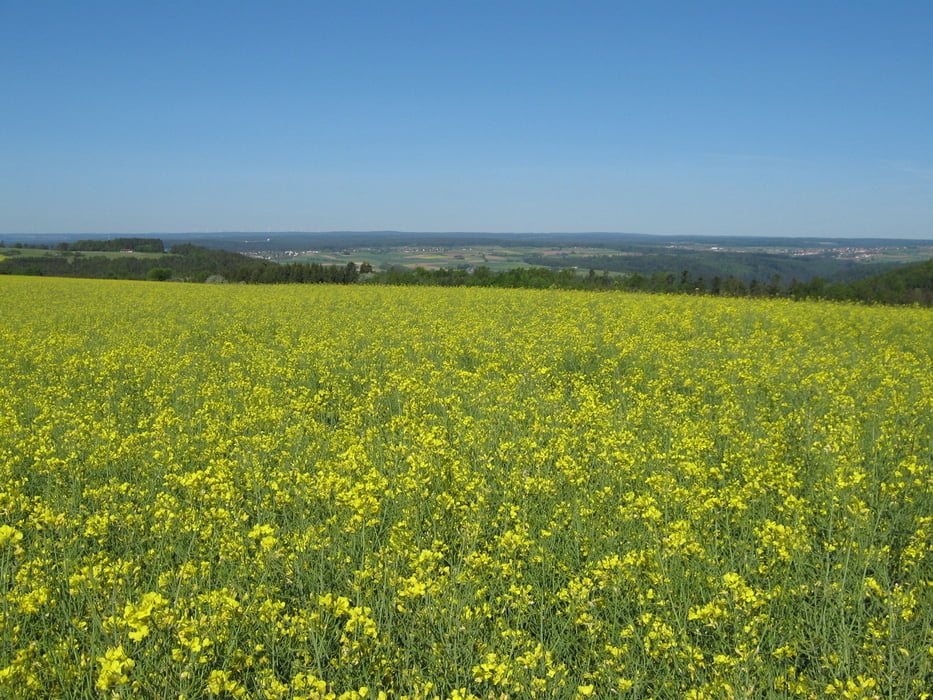
Entlang des Weges bieten sich schöne Ausblicke auf das Heckengäu, den Nordschwarzwald bis hin zur Schwäbischen Alb.
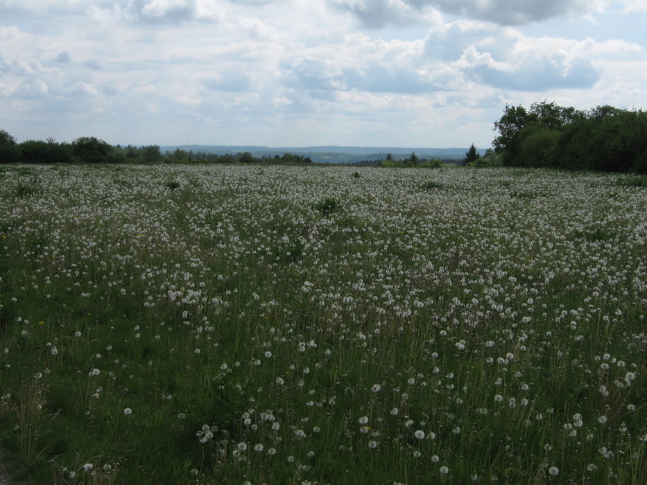
Galerie du tour
Carte du tour et altitude
Minimum height 222 m
Maximum height 724 m
More about the tour author

|
olker65 |
Commentaires

Am Besten mit der Bahn, da sich am Ausgangs- und Endpunkt jeweils ein Bahnhof befindet.
Tracks GPS
Trackpoints-
GPX / Garmin Map Source (gpx) download
-
TCX / Garmin Training Center® (tcx) download
-
CRS / Garmin Training Center® (crs) download
-
Google Earth (kml) download
-
G7ToWin (g7t) download
-
TTQV (trk) download
-
Overlay (ovl) download
-
Fugawi (txt) download
-
Kompass (DAV) Track (tk) download
-
Feuille de tours (pdf) download
-
Original file of the author (gpx) download
More about the tour author
|
|
olker65 |
Add to my favorites
Remove from my favorites
Edit tags
Open track
My score
Rate