Login

Login oublié ?

Cookies have to be accepted!
Your browser's cookie functionality is disabled. Please enable this functionality.

Not a member yet?

Register now
Login

Available for registred users only

Log in to use this feature.

Login oublié ?

Cookies have to be accepted!
Your browser's cookie functionality is disabled. Please enable this functionality.

Not a member yet?

Register now
Filter
Catégories
Advanced filters
  • Longueur (km)
  • Altimètre
Enregistrer le filtre Reset filter

TrackRank

QRCode

Technical data

Longueur62,2 km Altimètre874 m Way down886 m Durée05:00 h:m Date19.05.2012
Evaluations Author Paysage Aspect amusement Condition Technique

Statistiques

972 Vues Evaluations 123 Téléchargements Moyenne
Rate
  • Feuille de tours
  • Arrivée
  • Téléchargements
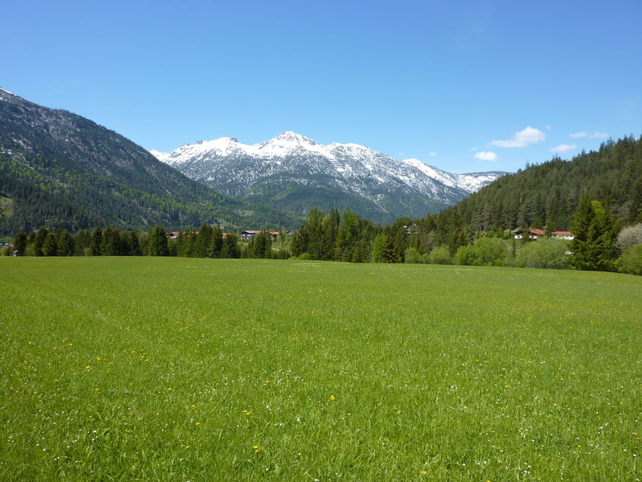
Ein landschaftliches Highlight. Von Reute geht's 5 km flach am Lech entlang dann kommt der Anstieg. Bis zum Rotlechstause ist die Steugung mäßig dann wird es etwas steiler bis Rinnen. Kann man zur Not auch schieben ist nicht so weit. Von Rinnen nach Stanzach sind wir die Straße gefahren es gibt aber auch einen Wanderweg. Zurück durchs Lechtahl ist dann auch noch ganz schön.

Galerie du tour

Carte du tour et altitude

  • Open Street Map
  • Google
Minimum height 852 m Maximum height 1365 m Vue de détail

More about the tour author

logesg
Member since 2009

Send private message

Commentaires

Tracks GPS

Trackpoints
  • GPX / Garmin Map Source (gpx) download
  • TCX / Garmin Training Center® (tcx) download
  • CRS / Garmin Training Center® (crs) download
  • Google Earth (kml) download
  • G7ToWin (g7t) download
  • TTQV (trk) download
  • Overlay (ovl) download
  • Fugawi (txt) download
  • Kompass (DAV) Track (tk) download
  • Feuille de tours (pdf) download
  • Original file of the author (gpx) download

More about the tour author

logesg
Member since 2009

Send private message
Share track
Add to my favorites
Remove from my favorites
Edit tags
My score
Rate
Tour: Reute Rotlechtal Rinnen Stanzach
Cat.: Mountainbike
Longueur: 62,2 km
Evaluated on:
Durée:
Day(s)
Hour(s)
Minute(s)
Evaluation: Paysage Aspect amusement Condition Technique