Login

Login oublié ?

Cookies have to be accepted!
Your browser's cookie functionality is disabled. Please enable this functionality.

Not a member yet?

Register now
Login

Available for registred users only

Log in to use this feature.

Login oublié ?

Cookies have to be accepted!
Your browser's cookie functionality is disabled. Please enable this functionality.

Not a member yet?

Register now
Filter
Catégories
Advanced filters
  • Longueur (km)
  • Altimètre
Enregistrer le filtre Reset filter

TrackRank

QRCode

Technical data

Longueur77,4 km Altimètre710 m Way down748 m Durée04:00 h:m Date20.05.2012
Evaluations Author Paysage Aspect amusement Condition Technique

Statistiques

527 Vues Evaluations 37 Téléchargements Moyenne
Rate
  • Feuille de tours
  • Arrivée
  • Téléchargements

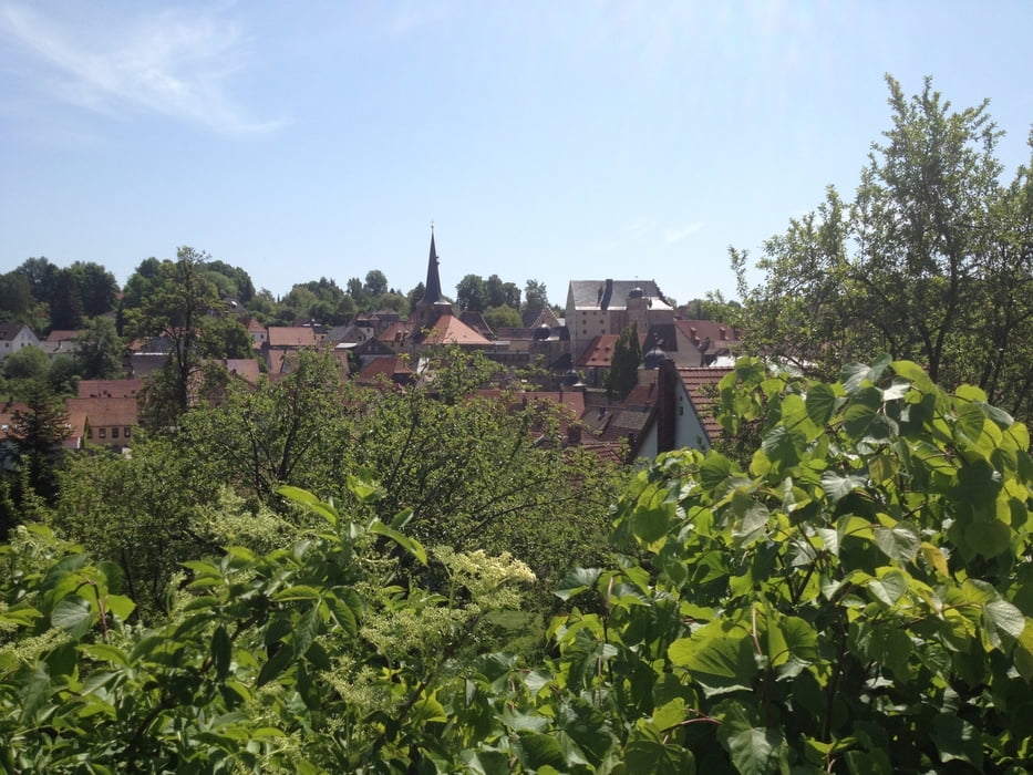
Die Tour beginnt in Goldkronach führt über Trebgast nach Kulmbach, von dort über Thurnau, Euben, Eckersdorf und Bayreuth nach Goldkronach zurück.

Achtung, ich benütze auch Radwege wenn sie geteert sind!

Viel Spaß.

Carte du tour et altitude

  • Open Street Map
  • Google
Minimum height 306 m Maximum height 487 m Vue de détail

More about the tour author

berndhuber
Member since 2008

Send private message

Commentaires

A9>Bayreuth nord>Goldkronach

Tracks GPS

Trackpoints
  • GPX / Garmin Map Source (gpx) download
  • TCX / Garmin Training Center® (tcx) download
  • CRS / Garmin Training Center® (crs) download
  • Google Earth (kml) download
  • G7ToWin (g7t) download
  • TTQV (trk) download
  • Overlay (ovl) download
  • Fugawi (txt) download
  • Kompass (DAV) Track (tk) download
  • Feuille de tours (pdf) download
  • Original file of the author (gpx) download

More about the tour author

berndhuber
Member since 2008

Send private message
Share track
Add to my favorites
Remove from my favorites
Edit tags
My score
Rate
Tour: Goldkronach>Kulmbach>Bayreuth
Cat.: Vélo de course
Longueur: 77,4 km
Evaluated on:
Durée:
Day(s)
Hour(s)
Minute(s)
Evaluation: Paysage Aspect amusement Condition Technique