
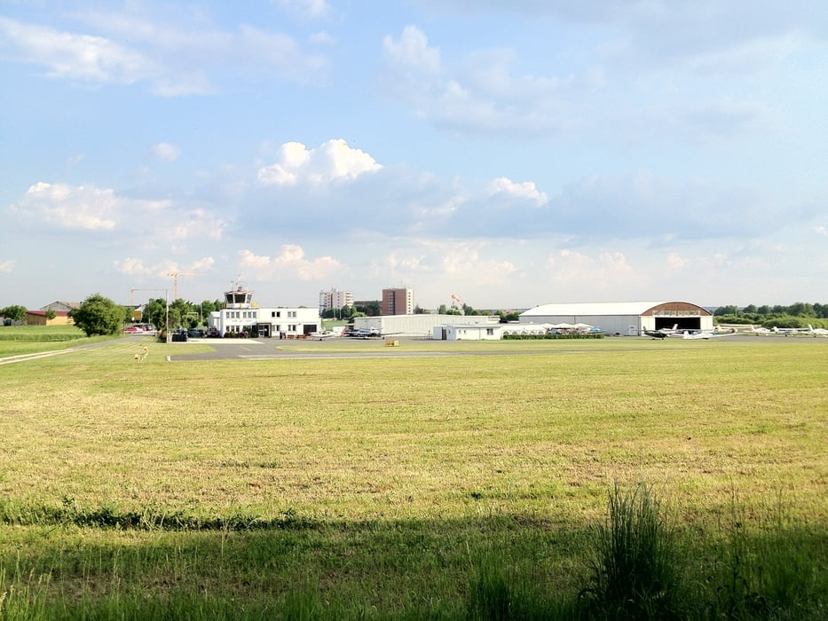

Zu diesem Track gibt es nicht all zu viel zu sagen. Er ist relativ unspektakulär, aber für ne schnelle Feierabendrunde genau richtig. Es geht hauptsächlich auf Feldwegen durch den Wald. Zwischendrin sind zwei kurze Anstiege zu bewältigen. Die Strasse wird nur zur kurzen Überbrückung genutzt. Das landschaftliche Highlight dieses Tracks ist ganz klar der Flughafen in Herzogenaurach.
Viel Spass beim Nachfahren!
Viel Spass beim Nachfahren!
Galerie du tour

Carte du tour et altitude
Minimum height 288 m
Maximum height 392 m
More about the tour author
|
|
Xandrian |
Commentaires

Tracks GPS
Trackpoints-
GPX / Garmin Map Source (gpx) download
-
TCX / Garmin Training Center® (tcx) download
-
CRS / Garmin Training Center® (crs) download
-
Google Earth (kml) download
-
G7ToWin (g7t) download
-
TTQV (trk) download
-
Overlay (ovl) download
-
Fugawi (txt) download
-
Kompass (DAV) Track (tk) download
-
Feuille de tours (pdf) download
-
Original file of the author (gpx) download
More about the tour author
|
|
Xandrian |
Add to my favorites
Remove from my favorites
Edit tags
Open track
My score
Rate