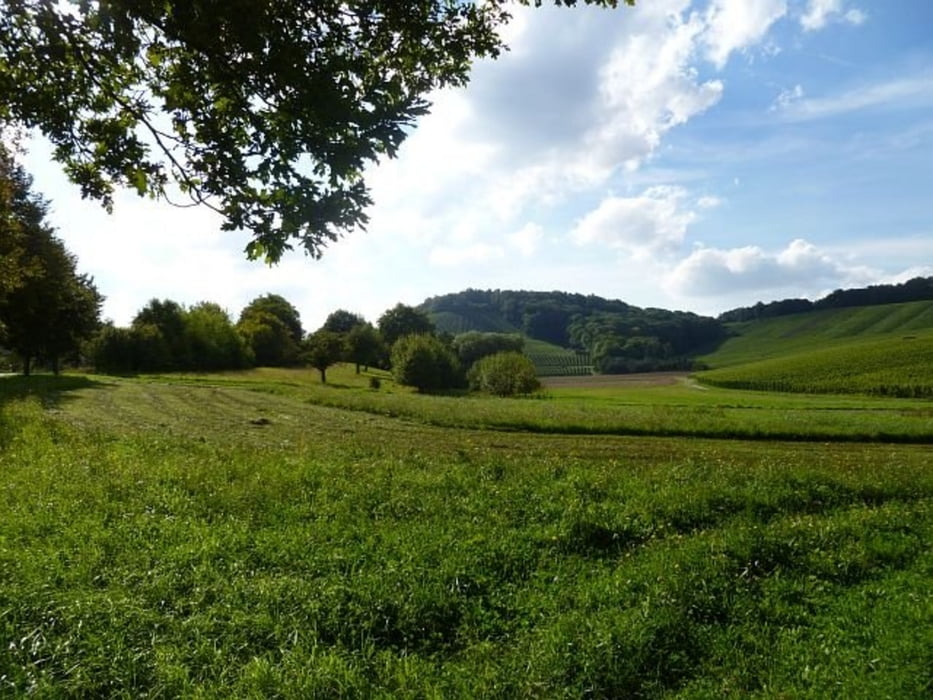
Schöne Tour durch den Kraichgau mit dem typischen hügeligem Profil. Ein toller Blick auf die Rheinebene oberhalb von Rauenberg, durch Weinberge und kleine Orte im wesentlichen auf Radwegen oder wenig befahrenen Seitenstraßen.
Carte du tour et altitude
Minimum height 137 m
Maximum height 280 m
Commentaires

Start in Weisloch oder an jedem anderen Punkt der Strecke.
Tracks GPS
Trackpoints-
GPX / Garmin Map Source (gpx) download
-
TCX / Garmin Training Center® (tcx) download
-
CRS / Garmin Training Center® (crs) download
-
Google Earth (kml) download
-
G7ToWin (g7t) download
-
TTQV (trk) download
-
Overlay (ovl) download
-
Fugawi (txt) download
-
Kompass (DAV) Track (tk) download
-
Feuille de tours (pdf) download
-
Original file of the author (gpx) download
Add to my favorites
Remove from my favorites
Edit tags
Open track
My score
Rate

