Login

Login oublié ?

Cookies have to be accepted!
Your browser's cookie functionality is disabled. Please enable this functionality.

Not a member yet?

Register now
Login

Available for registred users only

Log in to use this feature.

Login oublié ?

Cookies have to be accepted!
Your browser's cookie functionality is disabled. Please enable this functionality.

Not a member yet?

Register now
Filter
Catégories
Advanced filters
  • Longueur (km)
  • Altimètre
Enregistrer le filtre Reset filter

TrackRank

QRCode

Technical data

Longueur15,6 km Altimètre749 m Way down740 m Durée04:45 h:m Date21.05.2012
Evaluations Author Paysage Aspect amusement Condition Technique

Statistiques

611 Vues Evaluations 53 Téléchargements Moyenne
Rate
  • Feuille de tours
  • Arrivée
  • Téléchargements

Von unserer gestrigen Tour auf das Dürrnbachhorn haben uns noch ein wenig die Glieder wehgetan. Wir wollten nicht noch einmal vom Parkplsatz Seegatterl zur Winklmoos-Alm aufsteigen, um dann zur Steinplatte weiter zu wandern. Deshalb haben wir die Mautstraße genommen und schon mal 400 Höhenmeter "gespart".


Kurz hinter der Winklmoos-Alm führt ein mit dicken Holzbohlen befestigter Weg über sumpfiges Gelände zur Möser-Alm hinauf.

Galerie du tour

Carte du tour et altitude

  • Open Street Map
  • Google
Minimum height 1144 m 
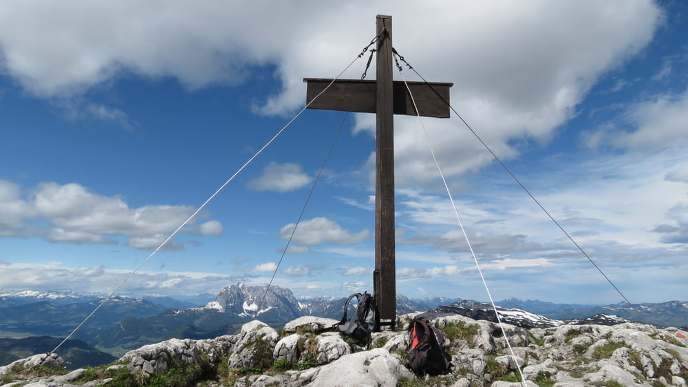
Maximum height 1870 m Vue de détail

More about the tour author

biauwe
Member since 2008

Send private message

Commentaires

Tracks GPS

Trackpoints
  • GPX / Garmin Map Source (gpx) download
  • TCX / Garmin Training Center® (tcx) download
  • CRS / Garmin Training Center® (crs) download
  • Google Earth (kml) download
  • G7ToWin (g7t) download
  • TTQV (trk) download
  • Overlay (ovl) download
  • Fugawi (txt) download
  • Kompass (DAV) Track (tk) download
  • Feuille de tours (pdf) download
  • Original file of the author (gpx) download

More about the tour author

biauwe
Member since 2008

Send private message
Share track
Add to my favorites
Remove from my favorites
Edit tags
My score
Rate
Tour: Steinplatte
Cat.: Randonnées
Longueur: 15,6 km
Evaluated on:
Durée:
Day(s)
Hour(s)
Minute(s)
Evaluation: Paysage Aspect amusement Condition Technique