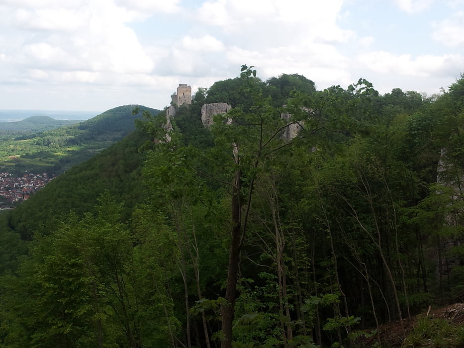
Diese Tour führt vom Parkplatz Bahnhöfle am Reußenstein nach Lenningen. Dabei geht es über einen flowigen Singletrail die Alb hinab. Von Lenningen aus geht es über den Sattelbogen zum Engelhof und danach zum Breitenstein. Wieder über einen Singletrail runter nach Hepsisau und in Neidlingen die Alb hoch zum Ausgangspunkt.
Carte du tour et altitude
Minimum height 451 m
Maximum height 816 m
Commentaires
Von der A8 kommend Richtung Weilheim, weiter Richtung Schopfloch, dann Richtung Reußenstein. Entfernung vom Parkplatz Bahnhöfle zum Reußenstein ungefähr 1000m
Tracks GPS
Trackpoints-
GPX / Garmin Map Source (gpx) download
-
TCX / Garmin Training Center® (tcx) download
-
CRS / Garmin Training Center® (crs) download
-
Google Earth (kml) download
-
G7ToWin (g7t) download
-
TTQV (trk) download
-
Overlay (ovl) download
-
Fugawi (txt) download
-
Kompass (DAV) Track (tk) download
-
Feuille de tours (pdf) download
-
Original file of the author (gpx) download
Add to my favorites
Remove from my favorites
Edit tags
Open track
My score
Rate


Empfehlenswerte Runde