


Von Levanto zum Monte Focone und Colla di Gitta
Startpunkt: Bahnhof Levanto
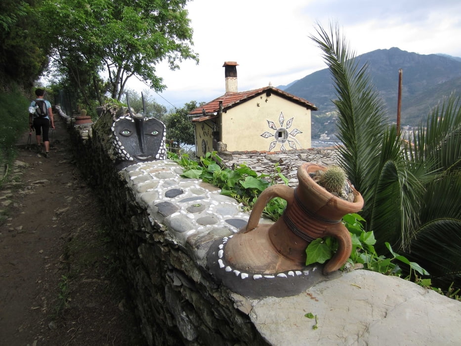
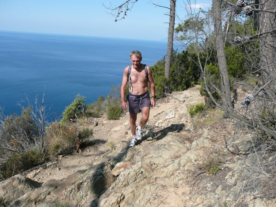
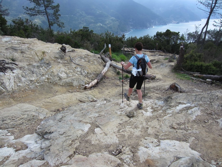
Von Levanto führt eine wunderschöne Klippentour entlang der Steilküste zum Monte Focone und über den Colla Gitte nach Monterosso in den Cinque Terre.
Vom Bahnhof geht es durch Levanto zur Kirche San Andrea. Der Weg Nr. 1 führt entlang der Steilküste mit atemberaubenden Panoramablicken bis kurz vor den Leuchturm Sant. Antonio. Vor dem Abstieg nach Monterosso geht es immer noch auf dem Weitwanderweg Nr. 1 spitzwinklig nach links zurück. Bald darauf zweigt man wieder nach links auf den markierten Weg Nr. 16b zum Monte Focone ab. Nach kurzer Gipfelrast geht es auf gleichen Weg zurück um dann wieder dem Weg Nr. 1 bis zum Colla di Gitta zu folgen. Von hier kommt man entweder mit dem Bus oder zu Fuß nach Monterosso um anschließend mit dem Zug zurück nach Levanto zu fahren. Die Tour ist in der Kompasskarte 644 zu finden.
Galerie du tour

Carte du tour et altitude
Minimum height 5 m
Maximum height 486 m
More about the tour author
|
|
RudolfTill |
Commentaires

Von der Autobahn A 12 nach Levanto fahren.
Tracks GPS
Trackpoints-
GPX / Garmin Map Source (gpx) download
-
TCX / Garmin Training Center® (tcx) download
-
CRS / Garmin Training Center® (crs) download
-
Google Earth (kml) download
-
G7ToWin (g7t) download
-
TTQV (trk) download
-
Overlay (ovl) download
-
Fugawi (txt) download
-
Kompass (DAV) Track (tk) download
-
Feuille de tours (pdf) download
-
Original file of the author (gpx) download
More about the tour author
|
|
RudolfTill |
Add to my favorites
Remove from my favorites
Edit tags
Open track
My score
Rate