


Eine weitere Runde am südlichen Stadtrand von Berlin.
Zuerst in der Nähe der B101 nach Süden. An der L76 nach Osten. Leider gibt es von Birkholz bis Mahlow keinen Radweg. Am Ortseingan von Mahlow nach rechts auf die Feldwege.
Nördlich des Flughafens folgt ein schönes Stück auf unterschiedlichen Belägen. Das werde ich mir merken.
Vom Dörferblick noch einmal die Aussicht geniessen um dann den Mauerweg zu verfolgen bis zum Rechtsabbieger der mich dann nach mehreren Ecken und auf unterschiedlichen Wegen zum Ostende des Teltowkanals bringt.
Der Rückweg ist einfach. Immer am Kanal entlang.
Further information at
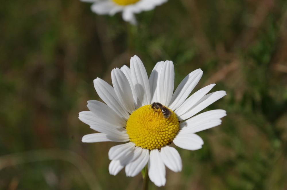
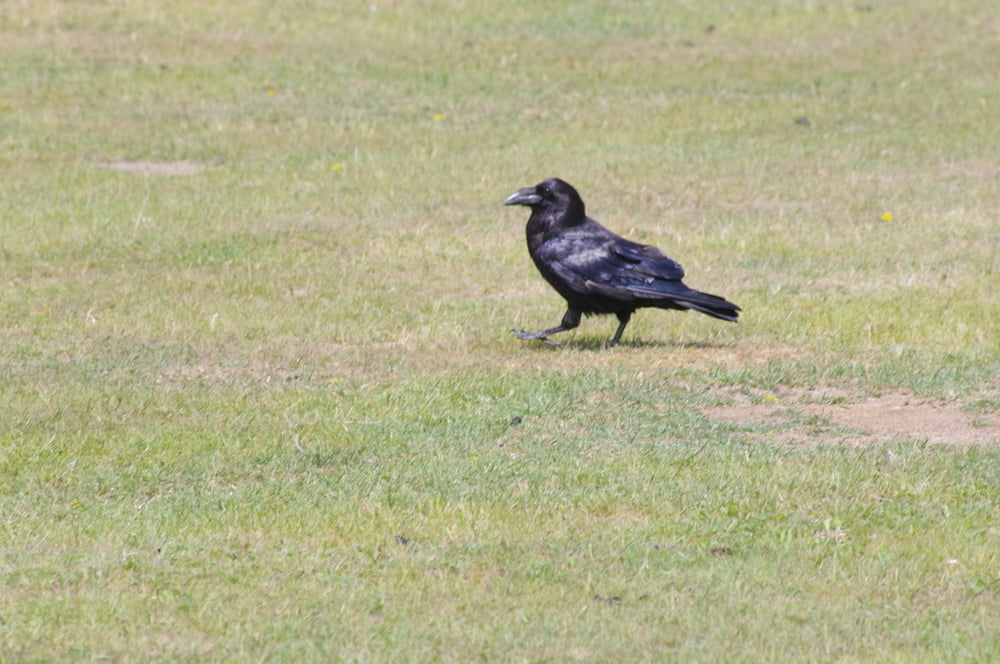
http://www.luise-berlin.de/bms/bmstxt00/0005prod.htmGalerie du tour


Carte du tour et altitude
Minimum height 30 m
Maximum height 90 m
More about the tour author
|
|
Pheinz |
Commentaires

Einstieg an beliebiger Stelle.
Tracks GPS
Trackpoints-
GPX / Garmin Map Source (gpx) download
-
TCX / Garmin Training Center® (tcx) download
-
CRS / Garmin Training Center® (crs) download
-
Google Earth (kml) download
-
G7ToWin (g7t) download
-
TTQV (trk) download
-
Overlay (ovl) download
-
Fugawi (txt) download
-
Kompass (DAV) Track (tk) download
-
Feuille de tours (pdf) download
-
Original file of the author (gpx) download
More about the tour author
|
|
Pheinz |
Add to my favorites
Remove from my favorites
Edit tags
Open track
My score
Rate