Login

Login oublié ?

Cookies have to be accepted!
Your browser's cookie functionality is disabled. Please enable this functionality.

Not a member yet?

Register now
Login

Available for registred users only

Log in to use this feature.

Login oublié ?

Cookies have to be accepted!
Your browser's cookie functionality is disabled. Please enable this functionality.

Not a member yet?

Register now
Filter
Catégories
Advanced filters
  • Longueur (km)
  • Altimètre
Enregistrer le filtre Reset filter

TrackRank

QRCode

Technical data

Longueur17,3 km Altimètre586 m Way down576 m Durée01:00 h:m Date03.06.2012
Evaluations Author Paysage Aspect amusement Condition Technique

Statistiques

781 Vues 1 Evaluation 161 Téléchargements 4.00 Moyenne
Rate
  • Feuille de tours
  • Arrivée
  • Téléchargements

Der Weg führt von Todtnauberg über Wald- und Wiesentrails hinauf zum Fuß des Feldbergs. Ein kleiner Abstecher auf den "Gipfel" des Feldberges ist wegen der Aussicht über den Schwarzwald bis nach Freiburg ist durchaus empfehlenswert.
Vorbei an der Todtnauerhütte führt der Weg auf Asphalt steil bergab. In einem großen Bogen führt der Weg über die Fatimakapelle wieder hinauf nach Todtnauberg.

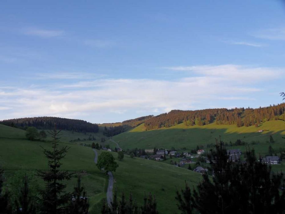
Nette Feierabendrunde!

Galerie du tour

Carte du tour et altitude

  • Open Street Map
  • Google
Minimum height 1056 m Maximum height 1392 m Vue de détail

More about the tour author

fzeitler
Member since 2010

Send private message

Commentaires

Tracks GPS

Trackpoints
  • GPX / Garmin Map Source (gpx) download
  • TCX / Garmin Training Center® (tcx) download
  • CRS / Garmin Training Center® (crs) download
  • Google Earth (kml) download
  • G7ToWin (g7t) download
  • TTQV (trk) download
  • Overlay (ovl) download
  • Fugawi (txt) download
  • Kompass (DAV) Track (tk) download
  • Feuille de tours (pdf) download
  • Original file of the author (tcx) download

More about the tour author

fzeitler
Member since 2010

Send private message
Share track
Add to my favorites
Remove from my favorites
Edit tags
My score
Rate
Tour: Feldbergtrail
Cat.: Mountainbike
Longueur: 17,3 km
Evaluated on:
Durée:
Day(s)
Hour(s)
Minute(s)
Evaluation: Paysage Aspect amusement Condition Technique