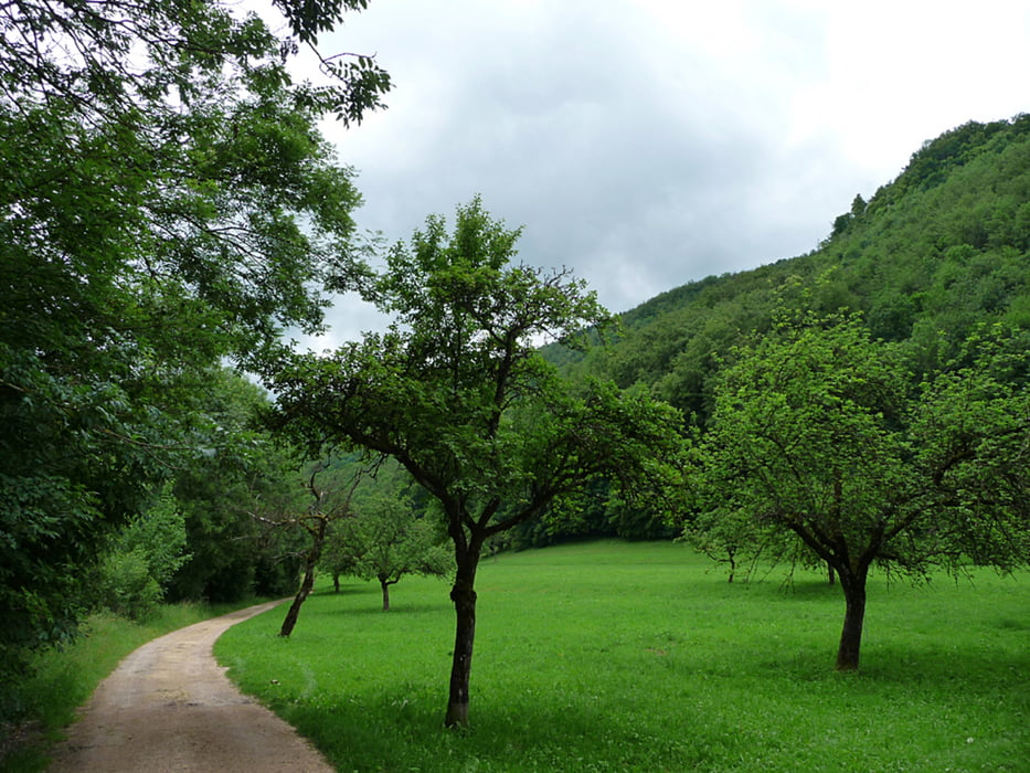
Die Tour startet von Weilheim von wo aus man sich so langsam dem Albaufstieg nähert. Es geht über Schotterwege und kürzere Asphaltpassagen Richtung Neidlinger Wasserfall, Schopfloch, Krebsstein und von hier aus auf einem schmalen Trail ins Tal nach Unterlenningen. Ab hier kann man gemütlich ausrollen nach Kirchheim..
Carte du tour et altitude
Minimum height 278 m
Maximum height 800 m
Commentaires

Tracks GPS
Trackpoints-
GPX / Garmin Map Source (gpx) download
-
TCX / Garmin Training Center® (tcx) download
-
CRS / Garmin Training Center® (crs) download
-
Google Earth (kml) download
-
G7ToWin (g7t) download
-
TTQV (trk) download
-
Overlay (ovl) download
-
Fugawi (txt) download
-
Kompass (DAV) Track (tk) download
-
Feuille de tours (pdf) download
-
Original file of the author (gpx) download
Add to my favorites
Remove from my favorites
Edit tags
Open track
My score
Rate


