Login

Login oublié ?

Cookies have to be accepted!
Your browser's cookie functionality is disabled. Please enable this functionality.

Not a member yet?

Register now
Login

Available for registred users only

Log in to use this feature.

Login oublié ?

Cookies have to be accepted!
Your browser's cookie functionality is disabled. Please enable this functionality.

Not a member yet?

Register now
Filter
Catégories
Advanced filters
  • Longueur (km)
  • Altimètre
Enregistrer le filtre Reset filter

TrackRank

QRCode

Technical data

Longueur58,8 km Altimètre535 m Way down601 m Durée04:00 h:m Date20.08.2007
Evaluations Author Paysage Aspect amusement Condition Technique

Statistiques

544 Vues Evaluations 126 Téléchargements Moyenne
Rate
  • Feuille de tours
  • Arrivée
  • Téléchargements
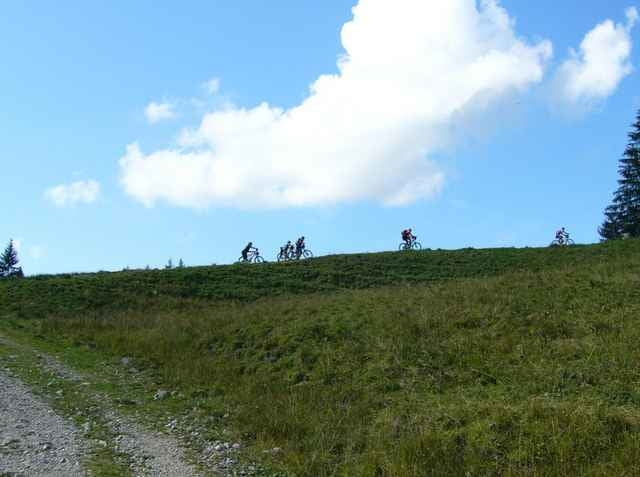
Samstagsmittagsausfahrt der Kißlegger Mountainbiker auf Umwegen nach Aulendorf und zur Schussenquelle. Mann glaubt gar nicht wieviel Buckel es in Oberschwaben gibt. Sehr anspruchsvolle Tour mit einigen Trails die sehr viel Abwechslung bringen. Zurück gings für einen Teil der Mannschaft mit dem Zug, der Rest ist die Heimfahrt über Durlesbach und den Altdorfer Wald angetreten (Siehe Tour Nr.10192)

Further information at

http://www.sgk-skiundrad.de

Carte du tour et altitude

  • Open Street Map
  • Google
Minimum height 562 m Maximum height 713 m Vue de détail

More about the tour author

mtbkisslegg
Member since 2007

Send private message

Commentaires

Tracks GPS

Trackpoints
  • GPX / Garmin Map Source (gpx) download
  • TCX / Garmin Training Center® (tcx) download
  • CRS / Garmin Training Center® (crs) download
  • Google Earth (kml) download
  • G7ToWin (g7t) download
  • TTQV (trk) download
  • Overlay (ovl) download
  • Fugawi (txt) download
  • Kompass (DAV) Track (tk) download
  • Feuille de tours (pdf) download
  • Original file of the author (gpx) download

More about the tour author

mtbkisslegg
Member since 2007

Send private message
Share track
Add to my favorites
Remove from my favorites
Edit tags
My score
Rate
Tour: Kißlegg-Aulendorf
Cat.: Mountainbike
Longueur: 58,8 km
Evaluated on:
Durée:
Day(s)
Hour(s)
Minute(s)
Evaluation: Paysage Aspect amusement Condition Technique