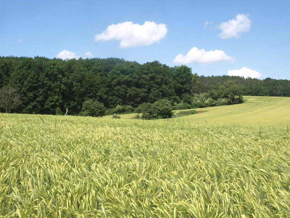
Rundwanderung in und um Hettenleidelheim zum Landschaftsschutzgebiet "Erdekaut" mit Grube Riegelstein.
Start an der Festhalle, wo es ausreichend Parkplätze gibt. Von dort beginnt die Runde im Uhrzeigersinn in westlicher Richtung. Sehr empfehlenswert ist die Einkehr nach etwa 2/3 der Tour in der Landgaststätte Seltenbach.
Die Idee zu der Tour lieferte die "Rheinpfalz".
Further information at
http://de.wikipedia.org/wiki/ErdekautGalerie du tour
Carte du tour et altitude
Minimum height 200 m
Maximum height 302 m
Commentaires

MIt dem Auto zur Festhalle "Gut-Heil" in der Turnhallentraße 2b.
Tracks GPS
Trackpoints-
GPX / Garmin Map Source (gpx) download
-
TCX / Garmin Training Center® (tcx) download
-
CRS / Garmin Training Center® (crs) download
-
Google Earth (kml) download
-
G7ToWin (g7t) download
-
TTQV (trk) download
-
Overlay (ovl) download
-
Fugawi (txt) download
-
Kompass (DAV) Track (tk) download
-
Feuille de tours (pdf) download
-
Original file of the author (gpx) download
Add to my favorites
Remove from my favorites
Edit tags
Open track
My score
Rate


