


Hübsche und größtenteils touristisch keineswegs überlaufene* Runde von der Arzmoosalm über die kaum bekannte und nicht beschilderte (weil Ausbildungsstützpunkt der Bundeswehr) Soinalm zum Wendelstein. Die Tour ist sehr variabel; es gibt noch weitere Möglichkeiten insbesondere zum Abstieg (oder lauffaule Personen machen den Aufstieg mit einer der Wendelsteinbahnen und den Abstieg dann über die Soinalm).
* Der Wendelstein an sich ist definitiv überlaufen, speziell am Wochenende...
Die begangenen Wege sind "rote" Wege, d.h. geeignetes Schuhwerk, Trittsicherheit und Kondition unbedingt erforderlich!
Further information at
http://www.panoramio.com/user/2786498/tags/KW%2025-2012Galerie du tour


Carte du tour et altitude
Minimum height 983 m
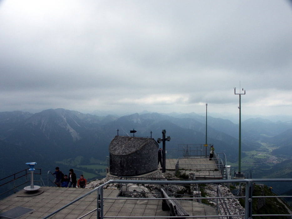
Maximum height 1839 m
More about the tour author

|
apismellifera |
Commentaires

Von Bayrischzell oder Brannenburg (Mautstraße! Kostenpunkt 2€ für PKW) auf die B307 - Parkplatz beim Rampoldkaser benutzen (der ist dafür gebührenfrei).
Tracks GPS
Trackpoints-
GPX / Garmin Map Source (gpx) download
-
TCX / Garmin Training Center® (tcx) download
-
CRS / Garmin Training Center® (crs) download
-
Google Earth (kml) download
-
G7ToWin (g7t) download
-
TTQV (trk) download
-
Overlay (ovl) download
-
Fugawi (txt) download
-
Kompass (DAV) Track (tk) download
-
Feuille de tours (pdf) download
-
Original file of the author (gpx) download
More about the tour author
|
|
apismellifera |
Add to my favorites
Remove from my favorites
Edit tags
Open track
My score
Rate