Login

Login oublié ?

Cookies have to be accepted!
Your browser's cookie functionality is disabled. Please enable this functionality.

Not a member yet?

Register now
Login

Available for registred users only

Log in to use this feature.

Login oublié ?

Cookies have to be accepted!
Your browser's cookie functionality is disabled. Please enable this functionality.

Not a member yet?

Register now
Filter
Catégories
Advanced filters
  • Longueur (km)
  • Altimètre
Enregistrer le filtre Reset filter

TrackRank

QRCode

Technical data

Longueur8,4 km Altimètre41 m Way down50 m Durée02:35 h:m Date24.06.2012
Evaluations Author Paysage Aspect amusement Condition Technique

Statistiques

152 Vues Evaluations 4 Téléchargements Moyenne
Rate
  • Feuille de tours
  • Arrivée
  • Téléchargements


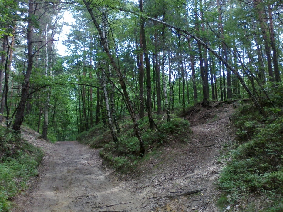
Kolejny spacer po żorskim lesie Dębina, trasa trochę przeryta przez ciężki sprzęt jeżdżący na 4 kółkach, więc czasem ciężko się pcha naszego bolida z Jasiem, las sam w sobie bardzo ciekawy, po drodze napotkany grób, łąki z których biją źródła naszej Rudy, obrzeża stawu Śmieszek.


Further information at

http://wikimapia.org/13783797/pl/Staw-%C5%9Amieszek

Galerie du tour

Carte du tour et altitude

  • Open Street Map
  • Google
Minimum height 260 m Maximum height 290 m Vue de détail

More about the tour author

paramati
Member since 2012

Send private message

Commentaires


Start z Kleszczówki, runda do okoła, powrót na Kleszczówkę


Tracks GPS

Trackpoints
  • GPX / Garmin Map Source (gpx) download
  • TCX / Garmin Training Center® (tcx) download
  • CRS / Garmin Training Center® (crs) download
  • Google Earth (kml) download
  • G7ToWin (g7t) download
  • TTQV (trk) download
  • Overlay (ovl) download
  • Fugawi (txt) download
  • Kompass (DAV) Track (tk) download
  • Feuille de tours (pdf) download
  • Original file of the author (gpx) download

More about the tour author

paramati
Member since 2012

Send private message
Share track
Add to my favorites
Remove from my favorites
Edit tags
My score
Rate
Tour: 23 czerwca
Cat.: Randonnées
Longueur: 8,4 km
Evaluated on:
Durée:
Day(s)
Hour(s)
Minute(s)
Evaluation: Paysage Aspect amusement Condition Technique