


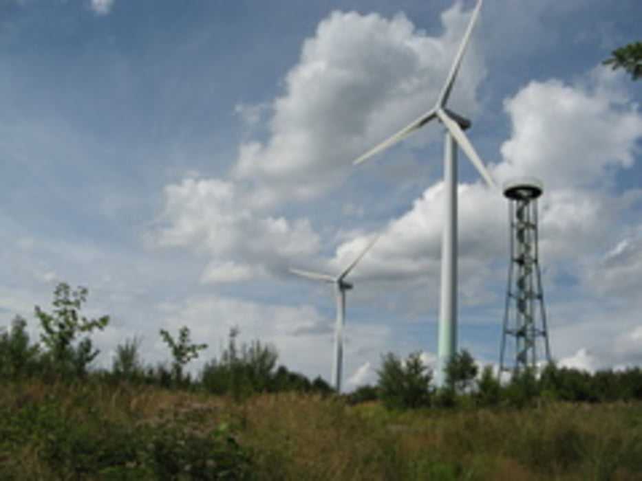
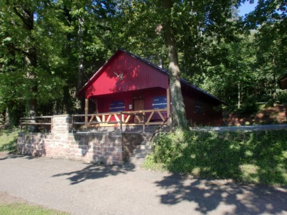
Dieser Rundweg geht über Weinberge, Schotterwege und kurze Trailwege. Wir hatten Glück, das an dieser Tour an der Schmieheimer Hütte "Vogesenblick" die Feuerwehr Schmieheim die Bewirtung hatte und somit wir gestärkt weiter fahren konnten.
Aber Achtung das ist die Ausnahme - die Hütte wird selten bewirtet.
Die Tour ist relativ einfach zu befahren, die Trailwege haben keinen großen Anspruch und sind für Anfänger geeignet.
Aber Achtung das ist die Ausnahme - die Hütte wird selten bewirtet.
Die Tour ist relativ einfach zu befahren, die Trailwege haben keinen großen Anspruch und sind für Anfänger geeignet.
Galerie du tour
Carte du tour et altitude
Minimum height 165 m
Maximum height 530 m
More about the tour author
|
|
leikosub |
Commentaires

Tracks GPS
Trackpoints-
GPX / Garmin Map Source (gpx) download
-
TCX / Garmin Training Center® (tcx) download
-
CRS / Garmin Training Center® (crs) download
-
Google Earth (kml) download
-
G7ToWin (g7t) download
-
TTQV (trk) download
-
Overlay (ovl) download
-
Fugawi (txt) download
-
Kompass (DAV) Track (tk) download
-
Feuille de tours (pdf) download
-
Original file of the author (gpx) download
More about the tour author
|
|
leikosub |
Add to my favorites
Remove from my favorites
Edit tags
Open track
My score
Rate