Login

Login oublié ?

Cookies have to be accepted!
Your browser's cookie functionality is disabled. Please enable this functionality.

Not a member yet?

Register now
Login

Available for registred users only

Log in to use this feature.

Login oublié ?

Cookies have to be accepted!
Your browser's cookie functionality is disabled. Please enable this functionality.

Not a member yet?

Register now
Filter
Catégories
Advanced filters
  • Longueur (km)
  • Altimètre
Enregistrer le filtre Reset filter

TrackRank

QRCode

Technical data

Longueur10,5 km Altimètre699 m Way down637 m Durée05:00 h:m Date29.06.2012
Evaluations Author Paysage Aspect amusement Condition Technique

Statistiques

320 Vues Evaluations 25 Téléchargements Moyenne
Rate
  • Feuille de tours
  • Arrivée
  • Téléchargements

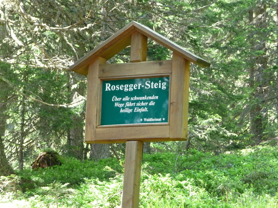
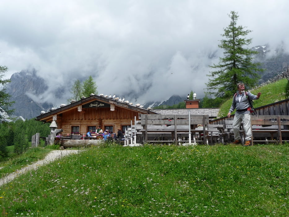
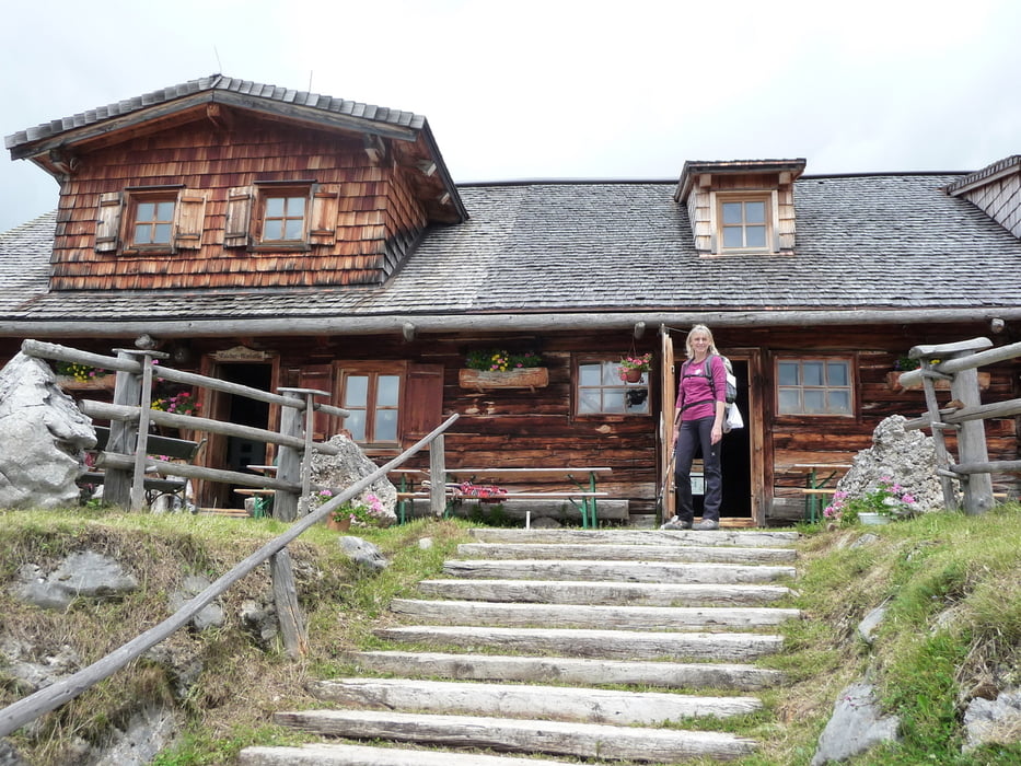
Aufstieg über Roseggersteig zur Austriahütte, nach ca. 10 min zur Brandalm, weiter zur Walcheralm (Sehenswert), ein kurzes Stück über Mautstrasse danach Waldweg zur Glösalm - liegt direkt an der Mautstrasse, weiter über Rundweg Nr. 6 vorbei am Dachsteinhaus zur Einstiegstelle Edelbrunn 

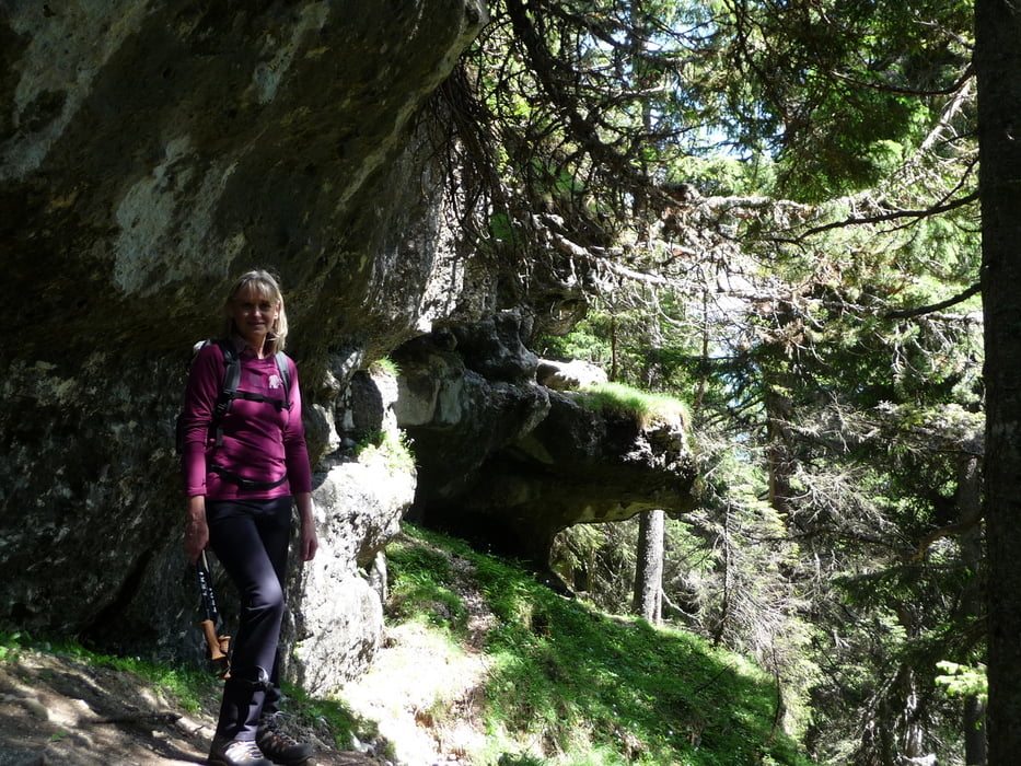
Aufstieg über Roseggersteig anspruchsvoll, danach schöne Rundtour

Bedingt durch mehrmalige Hüttenbesuche und Fotopausen 5 Std.

Galerie du tour

Carte du tour et altitude

  • Open Street Map
  • Google
Minimum height 1152 m Maximum height 1739 m Vue de détail

More about the tour author

oskar22
Member since 2012

Send private message

Commentaires

Schildlehen,  WA Edelbrunn 

Tracks GPS

Trackpoints
  • GPX / Garmin Map Source (gpx) download
  • TCX / Garmin Training Center® (tcx) download
  • CRS / Garmin Training Center® (crs) download
  • Google Earth (kml) download
  • G7ToWin (g7t) download
  • TTQV (trk) download
  • Overlay (ovl) download
  • Fugawi (txt) download
  • Kompass (DAV) Track (tk) download
  • Feuille de tours (pdf) download
  • Original file of the author (gpx) download

More about the tour author

oskar22
Member since 2012

Send private message
Share track
Add to my favorites
Remove from my favorites
Edit tags
My score
Rate
Tour: Roseggersteig - über 5 Hütten zurück WA Edelbrunn
Cat.: Randonnées
Longueur: 10,5 km
Evaluated on:
Durée:
Day(s)
Hour(s)
Minute(s)
Evaluation: Paysage Aspect amusement Condition Technique