

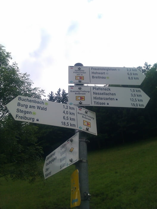
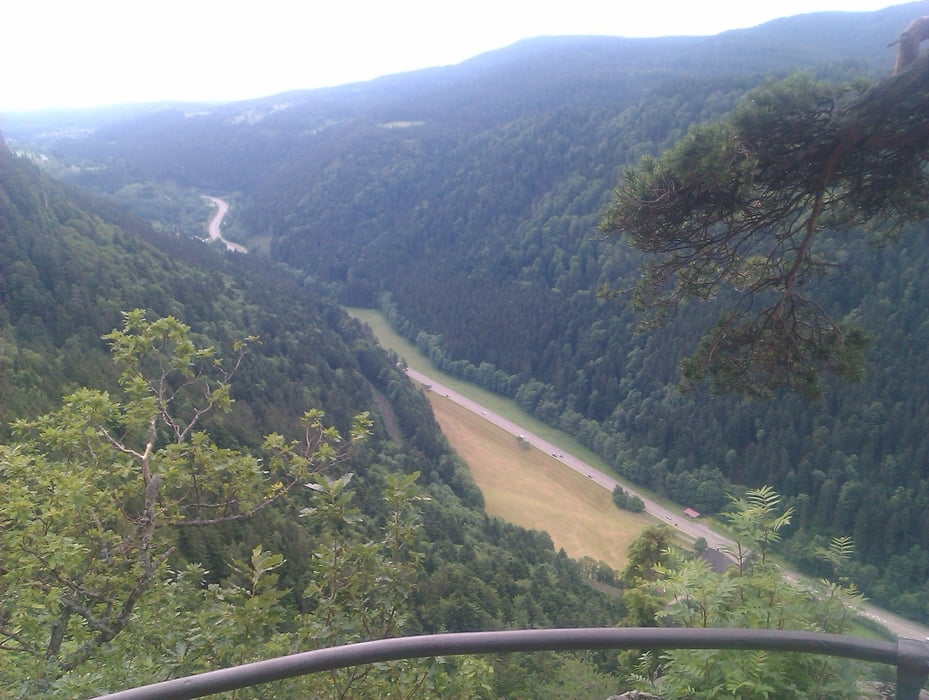
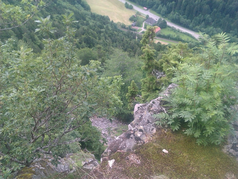
Startpunkt der Tour ist Breitnau im Hochschwarzwald. Es folgt eine recht Traillastige Abfahrt nach Buchenbach. Wir sind durch die Ortschaften Buchenbach und Himmelbach auf Radwegen gefahren um dann wieder in den Wald zu gelangen um den Anstieg, meist über Schotter- und Waldwegen, wieder nach Breitnau zu gelangen. Empfehlenswert auf der Heimfahrt ist ein Zwischenstop am Posthaldenfelsen um dort die Aussicht zu geniessen.
Viel Spaß beim Nachfahren und evtl. erweitern der Tour.!!!
Further information at
http://www.radsportfreunde-rueckenwind.deGalerie du tour

Carte du tour et altitude
Minimum height 425 m
Maximum height 1054 m
More about the tour author
|
|
klappili |
Commentaires

Tracks GPS
Trackpoints-
GPX / Garmin Map Source (gpx) download
-
TCX / Garmin Training Center® (tcx) download
-
CRS / Garmin Training Center® (crs) download
-
Google Earth (kml) download
-
G7ToWin (g7t) download
-
TTQV (trk) download
-
Overlay (ovl) download
-
Fugawi (txt) download
-
Kompass (DAV) Track (tk) download
-
Feuille de tours (pdf) download
-
Original file of the author (gpx) download
More about the tour author
|
|
klappili |
Add to my favorites
Remove from my favorites
Edit tags
Open track
My score
Rate