


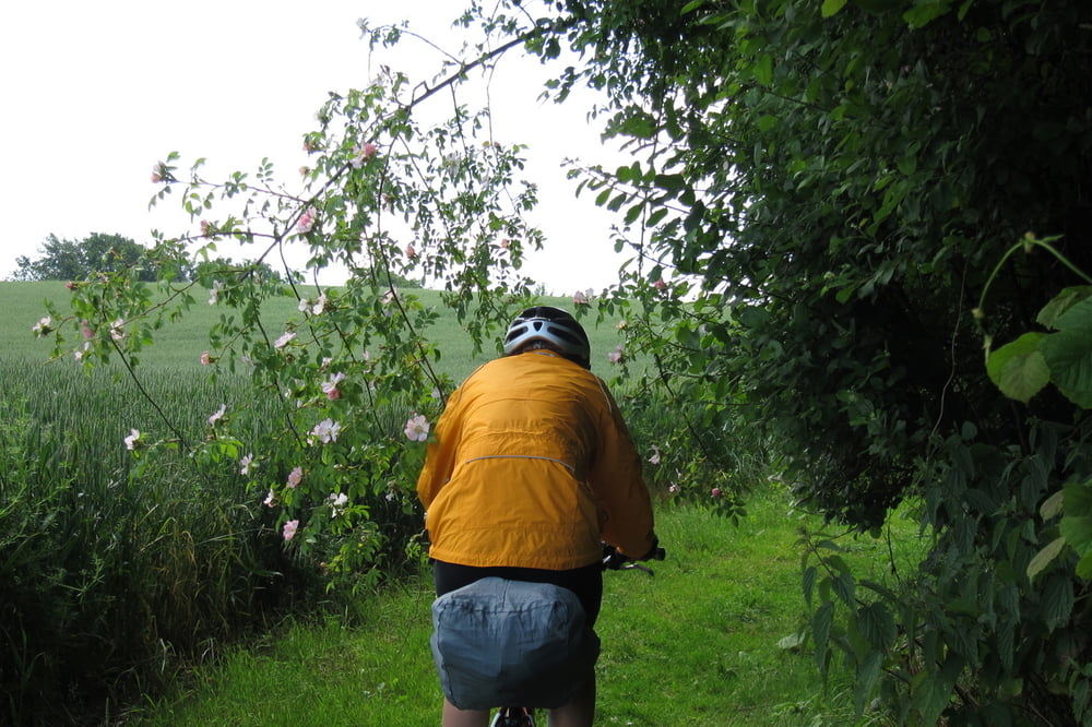
Trekkingbike - Tour im leichten Gelände mit schöner Sicht auf die Schlei und Ostsee.
Wegbeschaffenheit: Wiesen und Feldweg, Kies und Asphalt
Wegbeschreibung: Vom Parkplatz über die Schleibrücke, rechts am Hafen entlang - Wulfholz - Exhöft - Maasholm - Pottloch - Gelting - Stutebüll - Grimsfeld - Grimsnis - Kappeln
Further information at
http://www.ostseefjordschlei.de/Galerie du tour


Carte du tour et altitude
Minimum height -5 m
Maximum height 16 m
More about the tour author
|
|
W-C |
Commentaires

Von der A7 kommend auf die B77, B76, B203 nach Kappeln, Eckenförder Straße 1
Parkplatz - Koordinaten für dein Navigationsgerät
N 54° 39. 599´
E 9° 56. 408´
Tracks GPS
Trackpoints-
GPX / Garmin Map Source (gpx) download
-
TCX / Garmin Training Center® (tcx) download
-
CRS / Garmin Training Center® (crs) download
-
Google Earth (kml) download
-
G7ToWin (g7t) download
-
TTQV (trk) download
-
Overlay (ovl) download
-
Fugawi (txt) download
-
Kompass (DAV) Track (tk) download
-
Feuille de tours (pdf) download
-
Original file of the author (gpx) download
More about the tour author
|
|
W-C |
Add to my favorites
Remove from my favorites
Edit tags
Open track
My score
Rate