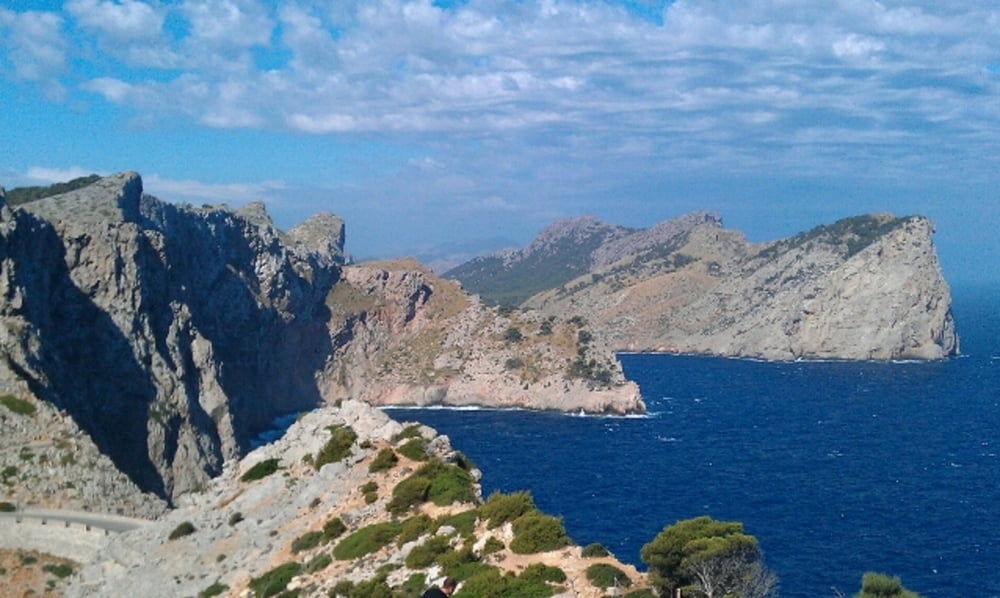
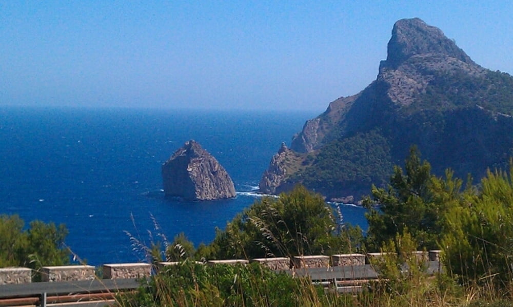
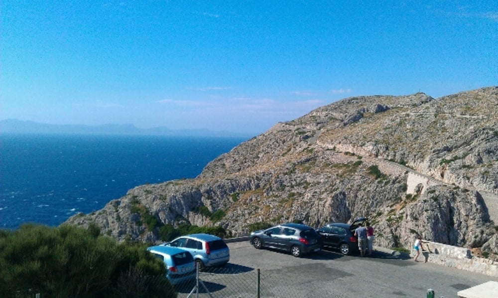
Landschaftlich wohl einer der schoensten Touren die ich je gefahren bin. Leider 90% auf Asphalt, aber das stoert bei dem Ausblick in das verkarstete Tramuntana-Gebirge nicht. Zumeist geht es im Pinienwald an der Steilkueste entlang. Unbedingt zeitig in der Frueh losfahren, bevor die Autokollonen zum Kap rollen. Wochende vermeiden!
Galerie du tour
Carte du tour et altitude
Minimum height 1 m
Maximum height 227 m
Commentaires

Tracks GPS
Trackpoints-
GPX / Garmin Map Source (gpx) download
-
TCX / Garmin Training Center® (tcx) download
-
CRS / Garmin Training Center® (crs) download
-
Google Earth (kml) download
-
G7ToWin (g7t) download
-
TTQV (trk) download
-
Overlay (ovl) download
-
Fugawi (txt) download
-
Kompass (DAV) Track (tk) download
-
Feuille de tours (pdf) download
-
Original file of the author (gpx) download
Add to my favorites
Remove from my favorites
Edit tags
Open track
My score
Rate


