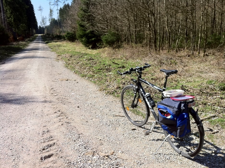
Schöner Rundweg ab / bis Trudering, abseits der vollen Fahrradwege.
Ein Trekkingbike sollte es schon sein. Von Singletrails bis Teer ist alles dabei.
Wenn man im Uhrzeigersinn fährt werden die Wege gegen Ende besser.
Carte du tour et altitude
Minimum height 531 m
Maximum height 610 m
Commentaires

Tracks GPS
Trackpoints-
GPX / Garmin Map Source (gpx) download
-
TCX / Garmin Training Center® (tcx) download
-
CRS / Garmin Training Center® (crs) download
-
Google Earth (kml) download
-
G7ToWin (g7t) download
-
TTQV (trk) download
-
Overlay (ovl) download
-
Fugawi (txt) download
-
Kompass (DAV) Track (tk) download
-
Feuille de tours (pdf) download
-
Original file of the author (gpx) download
Add to my favorites
Remove from my favorites
Edit tags
Open track
My score
Rate

