Achtung:
Ich habe nach der Freudenbergalpe die Abzweigung zur Lücheralpe genommen.
Der richtige Weg zweigt erst vor der Galtsuttisalpe ab.
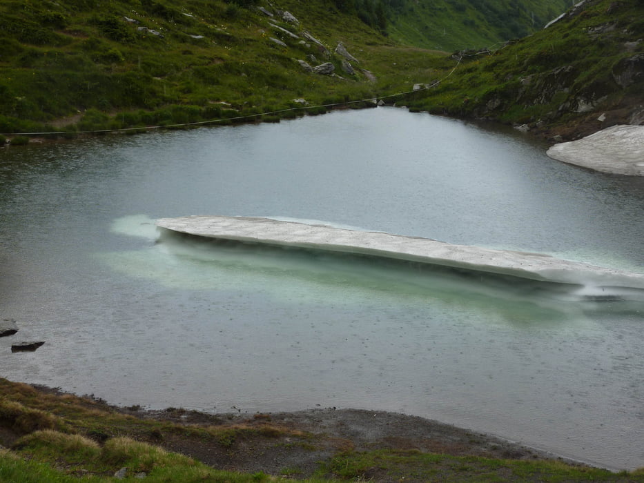
Im blauen See war am 28.7.2012 noch ein Eisberg!
Galerie du tour
Carte du tour et altitude
Minimum height 1346 m
Maximum height 2064 m
Commentaires

Tracks GPS
Trackpoints-
GPX / Garmin Map Source (gpx) download
-
TCX / Garmin Training Center® (tcx) download
-
CRS / Garmin Training Center® (crs) download
-
Google Earth (kml) download
-
G7ToWin (g7t) download
-
TTQV (trk) download
-
Overlay (ovl) download
-
Fugawi (txt) download
-
Kompass (DAV) Track (tk) download
-
Feuille de tours (pdf) download
-
Original file of the author (gpx) download
Add to my favorites
Remove from my favorites
Edit tags
Open track
My score
Rate


