


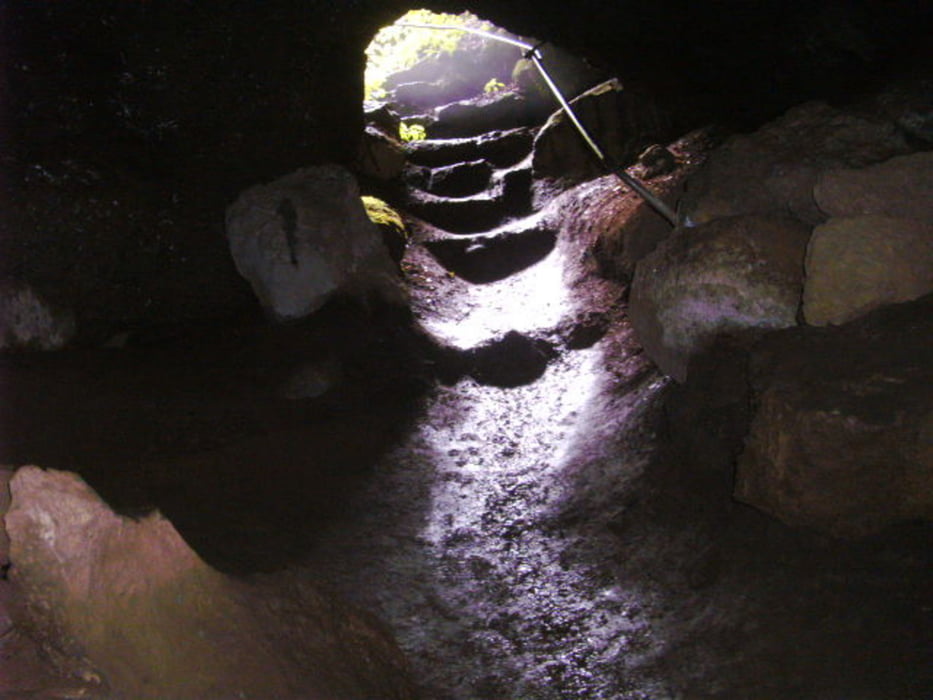
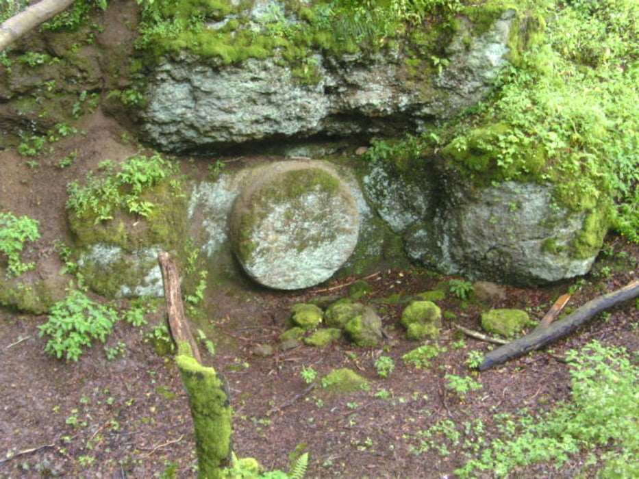
vom Parkplatz Bolsdorf aus dem Eifelsteig Richtung Gerolstein folgen bis zu den Höhlen. Dann auf eher Nebenwegen über Roth und Niederbettingen zurück zum Parkplatz. Für die Mühlsteinhöhle empfielt sich die Mitnahme einer Taschenlampe! Die Wege sind bis auf den Bereich Rother Kopf meist asphaltiert oder Feldwege, insgesamt recht gut zu machen. Unseren "Schlenker" in Niederbettingen kann man sich natürlich auch sparen!
Galerie du tour
Carte du tour et altitude
Minimum height 368 m
Maximum height 577 m
More about the tour author
|
|
Graf_Geo |
Commentaires

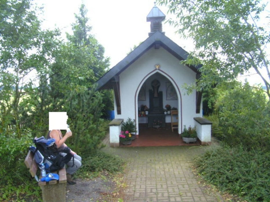
Der Parkplatz in Bolsdorf ist nicht ausgeschildert aber auch nicht zu übersehen, wenn man zentral in den Ort fährt.
Tracks GPS
Trackpoints-
GPX / Garmin Map Source (gpx) download
-
TCX / Garmin Training Center® (tcx) download
-
CRS / Garmin Training Center® (crs) download
-
Google Earth (kml) download
-
G7ToWin (g7t) download
-
TTQV (trk) download
-
Overlay (ovl) download
-
Fugawi (txt) download
-
Kompass (DAV) Track (tk) download
-
Feuille de tours (pdf) download
-
Original file of the author (gpx) download
More about the tour author
|
|
Graf_Geo |
Add to my favorites
Remove from my favorites
Edit tags
Open track
My score
Rate