Login

Login oublié ?

Cookies have to be accepted!
Your browser's cookie functionality is disabled. Please enable this functionality.

Not a member yet?

Register now
Login

Available for registred users only

Log in to use this feature.

Login oublié ?

Cookies have to be accepted!
Your browser's cookie functionality is disabled. Please enable this functionality.

Not a member yet?

Register now
Filter
Catégories
Advanced filters
  • Longueur (km)
  • Altimètre
Enregistrer le filtre Reset filter

TrackRank

QRCode

Technical data

Longueur13,6 km Altimètre196 m Way down191 m Durée03:15 h:m Date29.07.2012
Evaluations Author Paysage Aspect amusement Condition Technique

Statistiques

312 Vues 1 Evaluation 43 Téléchargements 4.00 Moyenne
Rate
  • Feuille de tours
  • Arrivée
  • Téléchargements
Der Track ist die Tour 9 aus dem Wanderführer Tippeltouren Band 11.
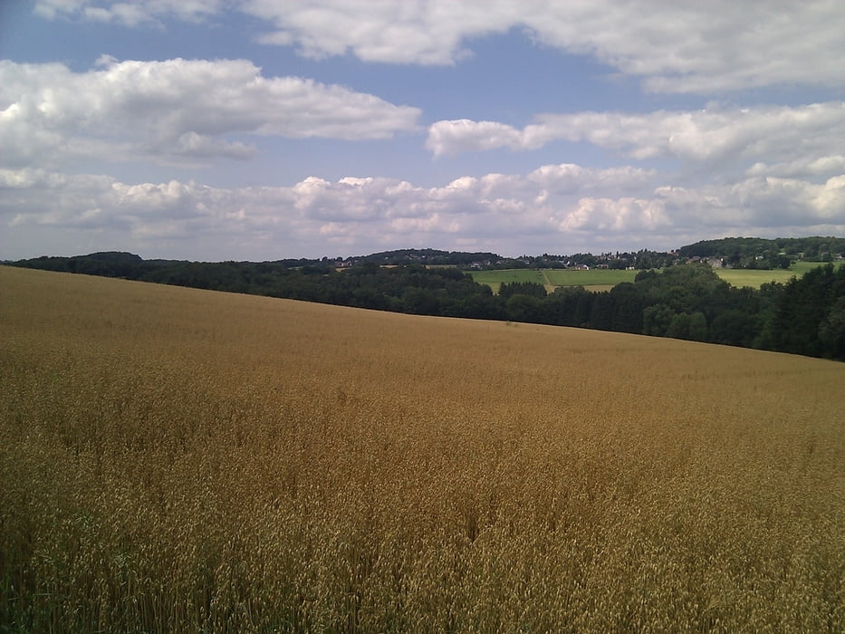
Galerie du tour

Carte du tour et altitude

  • Open Street Map
  • Google
Minimum height 177 m Maximum height 300 m Vue de détail

More about the tour author

TobyDean
Member since 2011

Send private message

Commentaires

An der Kirche im Dorf ist in der Regel gut Platz zu parken. Dort geht die Tour auch los. Für den Hunger nach der Tour stehen zwei rustikale Gasthäuser an der Strasse des Ortes.

Tracks GPS

Trackpoints
  • GPX / Garmin Map Source (gpx) download
  • TCX / Garmin Training Center® (tcx) download
  • CRS / Garmin Training Center® (crs) download
  • Google Earth (kml) download
  • G7ToWin (g7t) download
  • TTQV (trk) download
  • Overlay (ovl) download
  • Fugawi (txt) download
  • Kompass (DAV) Track (tk) download
  • Feuille de tours (pdf) download
  • Original file of the author (gpx) download

More about the tour author

TobyDean
Member since 2011

Send private message
Share track
Add to my favorites
Remove from my favorites
Edit tags
My score
Rate
Tour: Nach Buchholz in den Westerwald
Cat.: Randonnées
Longueur: 13,6 km
Evaluated on:
Durée:
Day(s)
Hour(s)
Minute(s)
Evaluation: Paysage Aspect amusement Condition Technique