Login

Login oublié ?

Cookies have to be accepted!
Your browser's cookie functionality is disabled. Please enable this functionality.

Not a member yet?

Register now
Login

Available for registred users only

Log in to use this feature.

Login oublié ?

Cookies have to be accepted!
Your browser's cookie functionality is disabled. Please enable this functionality.

Not a member yet?

Register now
Filter
Catégories
Advanced filters
  • Longueur (km)
  • Altimètre
Enregistrer le filtre Reset filter

TrackRank

QRCode

Technical data

Longueur42,9 km Altimètre1169 m Way down988 m Durée00:00 h:m Date30.07.2012
Evaluations Author Paysage Aspect amusement Condition Technique

Statistiques

73 Vues Evaluations 7 Téléchargements Moyenne
Rate
  • Feuille de tours
  • Arrivée
  • Téléchargements
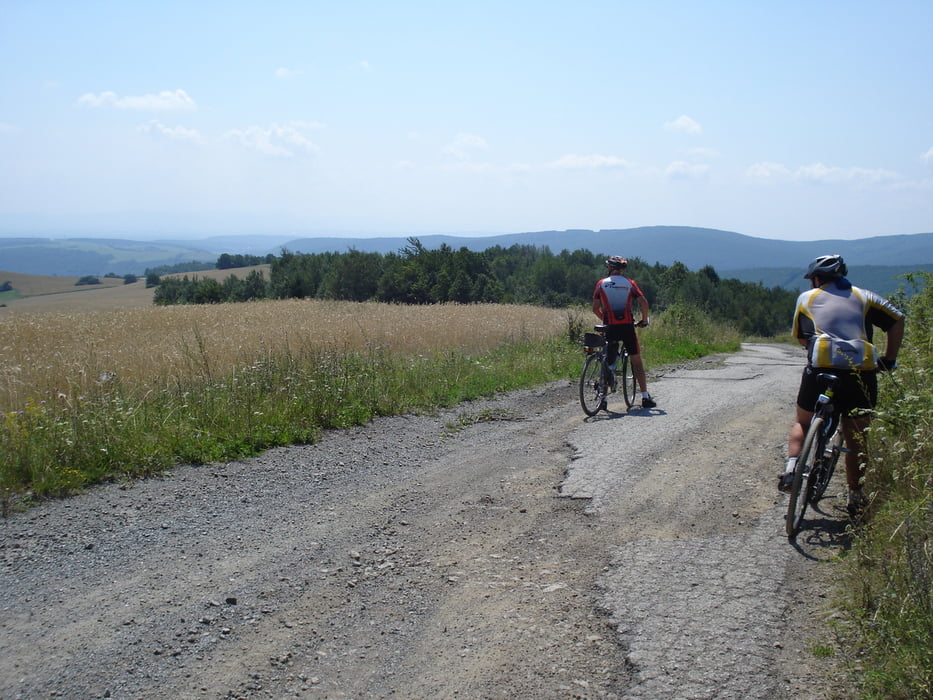
Po spojení sa s modrou značkou z Prednej Holice do Hýľova je lepšie zísť do Hýľova po tejto značke. To ako som šiel s priateľmi ďalej do Hýľova nebolo nič príjemné. Až pred Hýľovom už bola kvalita cesty dobrá.

Carte du tour et altitude

  • Open Street Map
  • Google
Minimum height 94 m Maximum height 835 m Vue de détail

More about the tour author

Suflikar
Member since 2012

Send private message

Commentaires

Tracks GPS

Trackpoints
  • GPX / Garmin Map Source (gpx) download
  • TCX / Garmin Training Center® (tcx) download
  • CRS / Garmin Training Center® (crs) download
  • Google Earth (kml) download
  • G7ToWin (g7t) download
  • TTQV (trk) download
  • Overlay (ovl) download
  • Fugawi (txt) download
  • Kompass (DAV) Track (tk) download
  • Feuille de tours (pdf) download
  • Original file of the author (gpx) download

More about the tour author

Suflikar
Member since 2012

Send private message
Share track
Add to my favorites
Remove from my favorites
Edit tags
My score
Rate
Tour: Bukovec
Cat.: Touring vélo
Longueur: 42,9 km
Evaluated on:
Durée:
Day(s)
Hour(s)
Minute(s)
Evaluation: Paysage Aspect amusement Condition Technique