Login

Login oublié ?

Cookies have to be accepted!
Your browser's cookie functionality is disabled. Please enable this functionality.

Not a member yet?

Register now
Login

Available for registred users only

Log in to use this feature.

Login oublié ?

Cookies have to be accepted!
Your browser's cookie functionality is disabled. Please enable this functionality.

Not a member yet?

Register now
Filter
Catégories
Advanced filters
  • Longueur (km)
  • Altimètre
Enregistrer le filtre Reset filter

TrackRank

QRCode

Technical data

Longueur10,3 km Altimètre1028 m Way down909 m Durée07:00 h:m Date30.07.2012
Evaluations Author Paysage Aspect amusement Condition Technique

Statistiques

2060 Vues Evaluations 60 Téléchargements Moyenne
Rate
  • Feuille de tours
  • Arrivée
  • Téléchargements

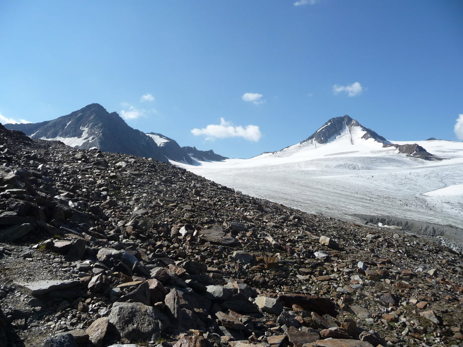
Herrliche Wanderung über den Saykogel.

Die letzten 100 Höhenmeter erfordern einiges an Schwindelfreiheit und Trittsicherheit.

Bei gutem Wetter (trocken) für Geübte aber kein größeres Problem.

Der offizielle Weg führt ca. 10 Meter unterhalb des Gipfels vorbei. Es gibt aber einen unmarkierten, jedoch leicht zu erkennenden, unschweren Pfad hinauf.

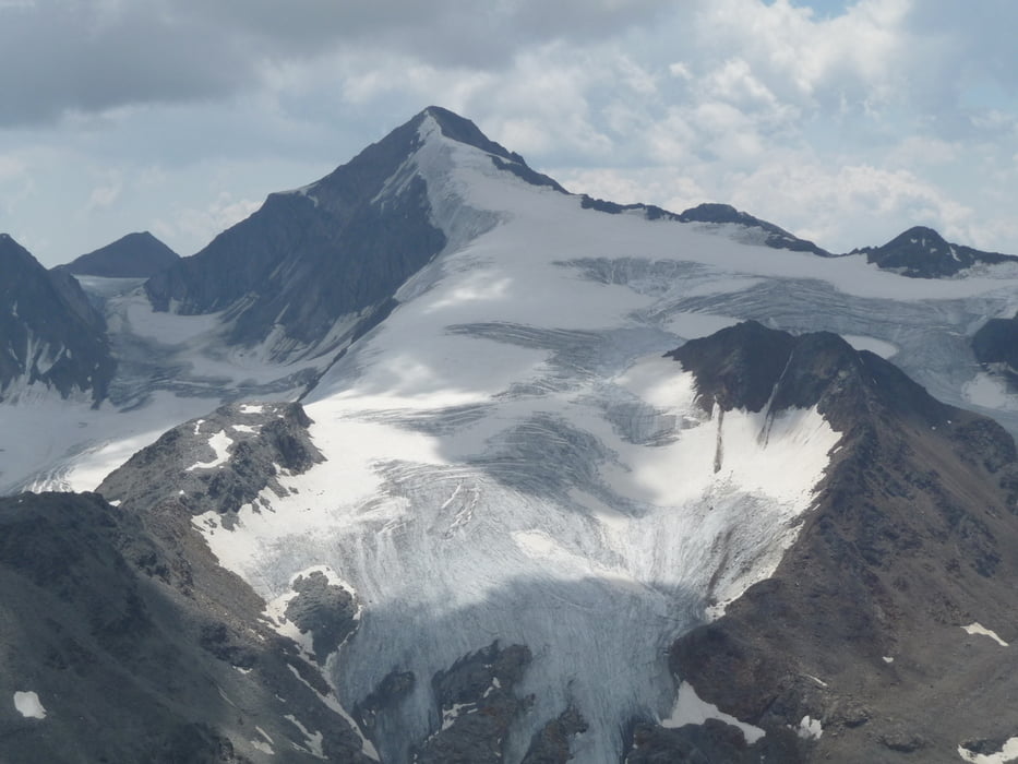
Den Ausblick vom Gipfel sollte man sich nicht entgehen lassen!!!


Further information at

http://www.vent.at

Galerie du tour

Carte du tour et altitude

  • Open Street Map
  • Google
Minimum height 2301 m Maximum height 3362 m Vue de détail

More about the tour author

Toralion
Member since 2011

Send private message

Commentaires

Tracks GPS

Trackpoints
  • GPX / Garmin Map Source (gpx) download
  • TCX / Garmin Training Center® (tcx) download
  • CRS / Garmin Training Center® (crs) download
  • Google Earth (kml) download
  • G7ToWin (g7t) download
  • TTQV (trk) download
  • Overlay (ovl) download
  • Fugawi (txt) download
  • Kompass (DAV) Track (tk) download
  • Feuille de tours (pdf) download
  • Original file of the author (gpx) download

More about the tour author

Toralion
Member since 2011

Send private message
Share track
Add to my favorites
Remove from my favorites
Edit tags
My score
Rate
Tour: Hochjochhospiz - Saykogel - Martin-Busch-Hütte
Cat.: Tour en montagne
Longueur: 10,3 km
Evaluated on:
Durée:
Day(s)
Hour(s)
Minute(s)
Evaluation: Paysage Aspect amusement Condition Technique