


Flache Rundtour die im südlichen Bereich von Berlin verläuft.
An der B101 südlich aus der Stadt heraus.
Über Heinersdorf nach Grossbeeren und weiter nach Genshagen. Über die Autobahn nach Löwenbruch. Der K7141 bis zur L79 folgen.
Nach links auf einem guten Radweg abbiegen nach Wietstock.
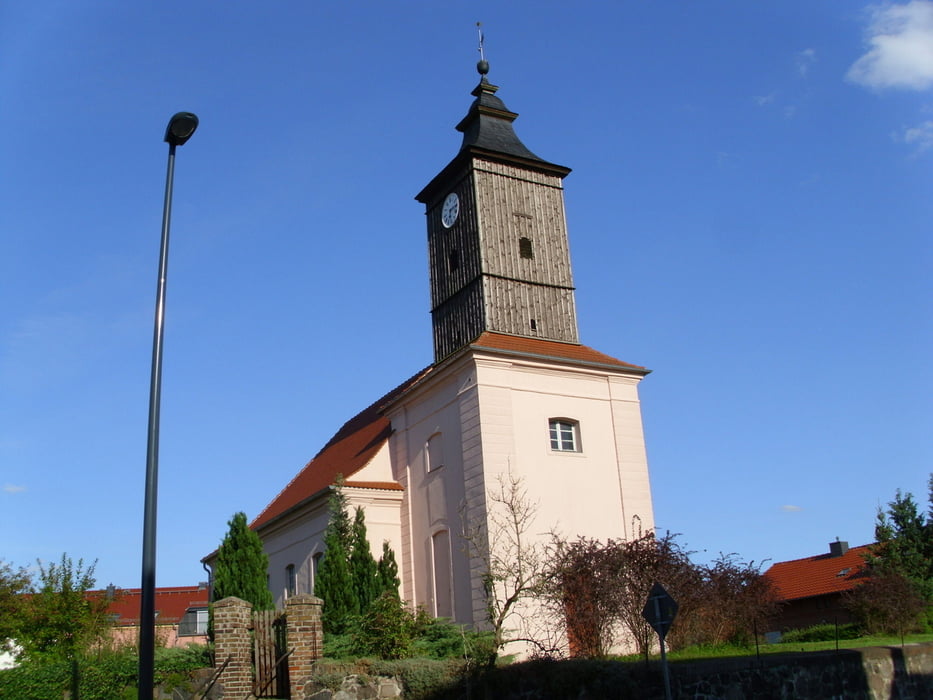
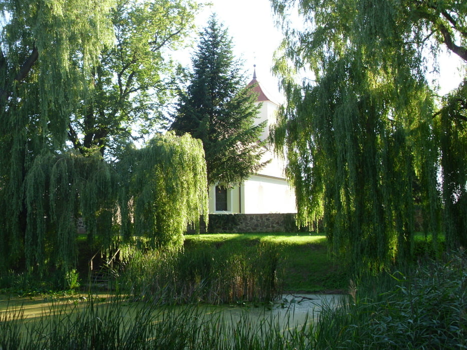
Weiter über Gross Schulzendorf nach Glienick. Dies ist ein netter Ort mit großer Dorfanger.
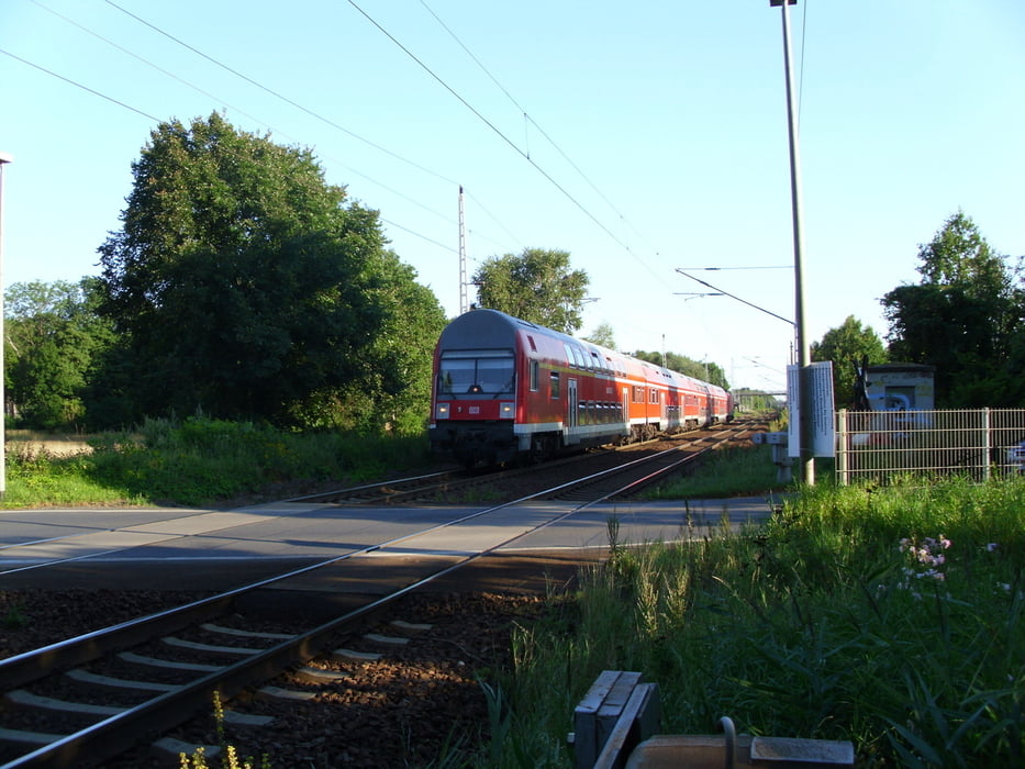
Weiter nach Dabendorf und direkt hinter dem Bahnübergang nach Norden auf einem schönen unbefestigten Weg. Auf weniger tollem Ortsweg zum Radweg an der B96 und Gross Machnow.
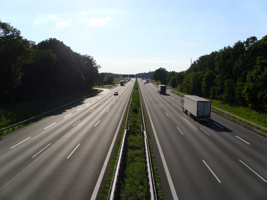
Dem Radweg weiter nach Norden folgen über die A10 hinweg und durch Dahlewitz hindurch bis Glasow.
Nach rechts und über die B96. Dort wird aktuell (August 2012) ein neer Radweg gebaut.
Über die B96A nach Wassmannsdorf und weiter nach Kleinziethen.
In Großziehthen links abbiegen und nach Lichtenrade hinein. Der Radweg ist hier lausig.
Trotzdem weiter und durch das Gewerbegebiet Motzener Straße nach Norden und zum Ausgangspunkt zurück.
Die Runde kann schnell gefahren werden und bietet schöne Landschaften.
Further information at
http://www.reiseregion-flaeming.de/Galerie du tour
Carte du tour et altitude
Minimum height 36 m
Maximum height 66 m
More about the tour author
|
|
Pheinz |
Commentaires

Einstieg an beliebiger Stelle.
Tracks GPS
Trackpoints-
GPX / Garmin Map Source (gpx) download
-
TCX / Garmin Training Center® (tcx) download
-
CRS / Garmin Training Center® (crs) download
-
Google Earth (kml) download
-
G7ToWin (g7t) download
-
TTQV (trk) download
-
Overlay (ovl) download
-
Fugawi (txt) download
-
Kompass (DAV) Track (tk) download
-
Feuille de tours (pdf) download
-
Original file of the author (gpx) download
More about the tour author
|
|
Pheinz |
Add to my favorites
Remove from my favorites
Edit tags
Open track
My score
Rate