


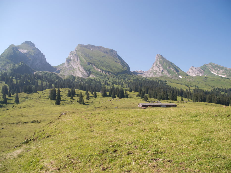
Wir haben das Auto bei der Kistenbahn Selunalp abgsestellt und sind zu Fuss auf Thurweg nach Alt St.Johann gewandert. dort hat uns die Sesselbahn nach Sellamatt befördert. Auf dem guten Wanderweg über schöne Alpen, vorbei an der Höhle vom Wildmannli (kann gefahrlos begangen werden) zur Selunalp. Hier könnte uns die Kastenbahn zurück nach Starkenbach bringen.
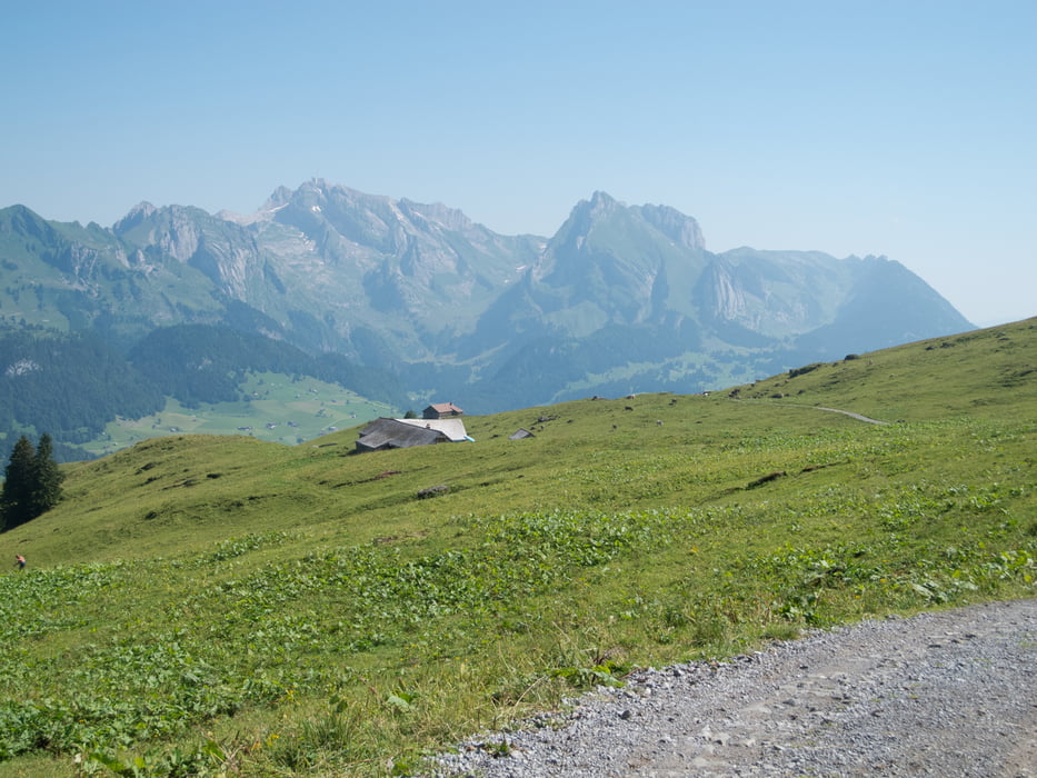
Weiter über Tritt (teilweise steile Passagen, die mit Seilen gesichert sind, vorbei am Flügelspitz zur Vorderen Höhi. Leider existiert die Alpwirtschaft nur im Winter.
Über Arsch (heisst wirklich so...!) zurück nach Starkenbach.
Eine doch recht lange, aber schöne Wanderung!
Galerie du tour
Carte du tour et altitude
Minimum height 818 m
Maximum height 1821 m
More about the tour author
|
|
gerosa |
Commentaires

Tracks GPS
Trackpoints-
GPX / Garmin Map Source (gpx) download
-
TCX / Garmin Training Center® (tcx) download
-
CRS / Garmin Training Center® (crs) download
-
Google Earth (kml) download
-
G7ToWin (g7t) download
-
TTQV (trk) download
-
Overlay (ovl) download
-
Fugawi (txt) download
-
Kompass (DAV) Track (tk) download
-
Feuille de tours (pdf) download
-
Original file of the author (gpx) download
More about the tour author
|
|
gerosa |
Add to my favorites
Remove from my favorites
Edit tags
Open track
My score
Rate