


Rundkurs durch das Altenburger Land westlich von Gößnitz mit Start und Ziel in Ponitz. Fahrt auf Radwegen und Nebenstraßen, meist mit Radwegmarkierung. Bis auf die beiden Anstiege bei Bornshain (ca. 50 Hm) und Wettelswalde (ca. 45 Hm) kaum merkliche Höhenunterschiede.
Routenverlauf:
Ponitz > Goessnitz > Bornshain > Maltis > Zürchau > Saara > Großstöbnitz > Schmoelln > Posterstein > Ponitz
Ausführliche Beschreibung der Strecke und Höhenprofil in http://www.wolf-klepzig.de/hp/rad/Ponitz-Goessnitz-Saara-Schmoelln-Posterstein-Ponitz.pdf.
Weitere Informationen an den Wegpunkten (Parken, Gastronomie, Besonderheiten).
Further information at
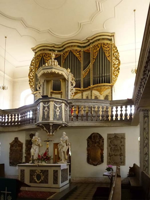
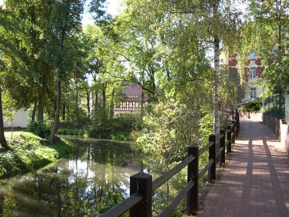
http://www.wolf-klepzig.de/hp/rad.htmGalerie du tour


Carte du tour et altitude
Minimum height 189 m
Maximum height 318 m
More about the tour author

|
klegpst |
Commentaires

Anfahrt zum Start am Schloss Ponitz http://www.renaissanceschloss-ponitz.de/index.html:
A72 Ausfahrt 62/Meerane in B93 Richtung Altenburg. Nach 4,4 km rechts abbiegen (SSO) auf Altenburger Straße und nach 650 m scharf rechts (WNW) auf Meeraner Straße bis Ponitz.
Zieleingabe für Routenplaner, z. B. Google maps: Mühlenweg, 04639 Ponitz oder die Koordinaten N50 51 22.2 E12 25 20.4.
Tracks GPS
Trackpoints-
GPX / Garmin Map Source (gpx) download
-
TCX / Garmin Training Center® (tcx) download
-
CRS / Garmin Training Center® (crs) download
-
Google Earth (kml) download
-
G7ToWin (g7t) download
-
TTQV (trk) download
-
Overlay (ovl) download
-
Fugawi (txt) download
-
Kompass (DAV) Track (tk) download
-
Feuille de tours (pdf) download
-
Original file of the author (gpx) download
More about the tour author
|
|
klegpst |
Add to my favorites
Remove from my favorites
Edit tags
Open track
My score
Rate