


4-Tage Hüttenwanderung (3 Übernachtungen auf Hütten)
2 kleine Gletscherquerungen
Bergerfahrung sollte vorhanden sein! Teilweise sehr steile Abschnitte, Schrofengelände, Fixseilsicherung
Tag 1: Höhenwanderweg Martell - Zufallhütte
Tag 2: Zufallhütte - Doriganohütte
Tag 3: Doriganohütte - Cevaedalehütte
Tag 4: Cevedalehütte - Martellerhütte - Rotspitzgipfel - Enzianhütte
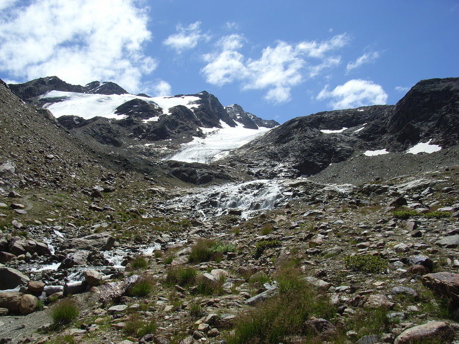
Galerie du tour

Carte du tour et altitude
Minimum height 1305 m
Maximum height 3127 m
More about the tour author
|
|
mxrapp |
Commentaires

Über Schlanders nach Martell, Parken im Ort
Rückfahrt von der Postbusstation Nähe Zufallhütte nach Martell
(Busfahrplan beachten!)
Tracks GPS
Trackpoints-
GPX / Garmin Map Source (gpx) download
-
TCX / Garmin Training Center® (tcx) download
-
CRS / Garmin Training Center® (crs) download
-
Google Earth (kml) download
-
G7ToWin (g7t) download
-
TTQV (trk) download
-
Overlay (ovl) download
-
Fugawi (txt) download
-
Kompass (DAV) Track (tk) download
-
Feuille de tours (pdf) download
-
Original file of the author (gpx) download
More about the tour author
|
|
mxrapp |
Add to my favorites
Remove from my favorites
Edit tags
Open track
My score
Rate