


Start und Ziel Wanderparkplatz am L324.
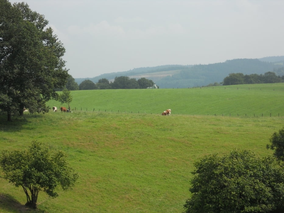
Die strecke war ziemlich einfach, aber auch etwas langweilig. Einen sehr grossen Teil der Wanderung ging durch den Wald und von Wiehltalsperre war nicht viel zu sehen.Es handelt sich um eine Trinkwassertalsperre. Aus diesem Grunde
ist das Betreten der engeren Schutzzone untersagt. Zahlreiche Hinweisschilder
außerhalb dieser Schutzzone machen einen darauf aufmerksam.Uterwegs stehen zwei Schutzhütte zum ausruhen.
Galerie du tour

Carte du tour et altitude
Minimum height 271 m
Maximum height 403 m
More about the tour author
|
|
ajdda |
Commentaires

Wanderparkplatz am L324.
Tracks GPS
Trackpoints-
GPX / Garmin Map Source (gpx) download
-
TCX / Garmin Training Center® (tcx) download
-
CRS / Garmin Training Center® (crs) download
-
Google Earth (kml) download
-
G7ToWin (g7t) download
-
TTQV (trk) download
-
Overlay (ovl) download
-
Fugawi (txt) download
-
Kompass (DAV) Track (tk) download
-
Feuille de tours (pdf) download
-
Original file of the author (gpx) download
More about the tour author
|
|
ajdda |
Add to my favorites
Remove from my favorites
Edit tags
Open track
My score
Rate