


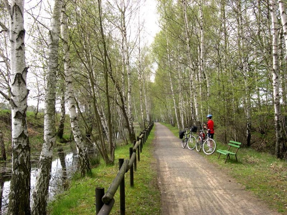
Rundkurs durch das Hügelland nordöstlichlich von Geithain. Meist asphaltierte Nebenstraßen, zum Teil wassergebundene Waldwege. Strecke mit geringen Steigungen über die Dörfer. Bei stärkerem Westwind Anstiege zwischen Hohnbach und Geithain etwas anstrengender, deshalb dieses Teilstück für Kinder weniger geeignet. Alternativen in Tour http://www.wolf-klepzig.de/hp/rad/Geithain-Honbach_Alternativen.gpx.
Routenverlauf:
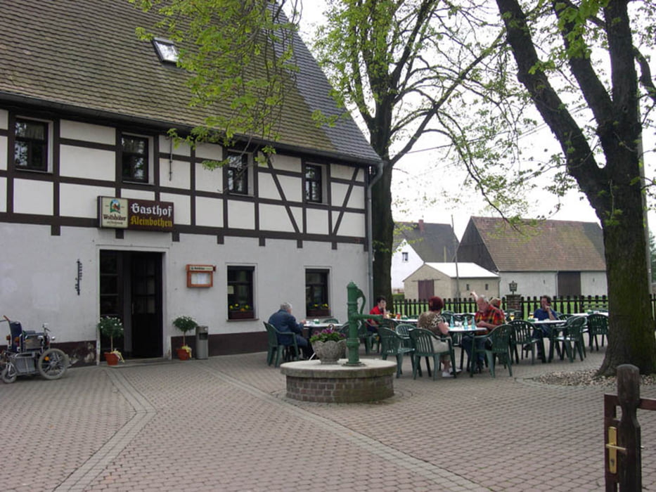
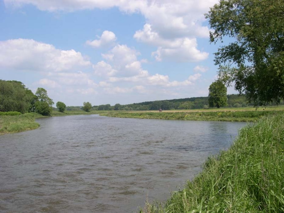
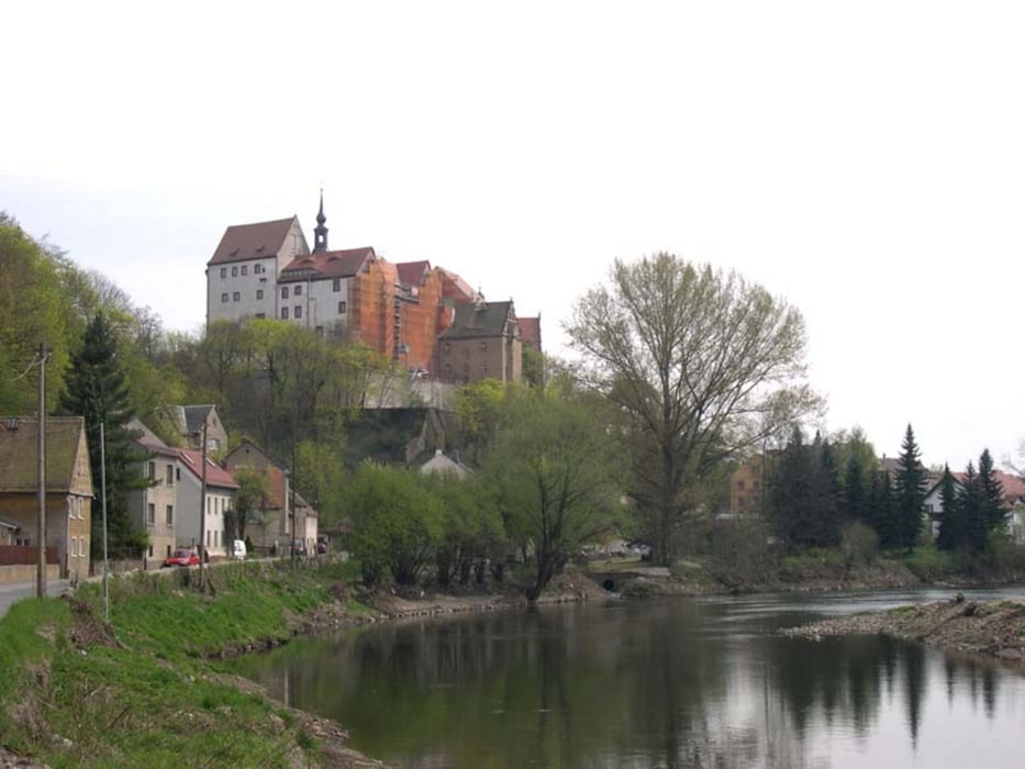
Geithain > Tautenhain > Hopfgarten > Buchheim > Bad Lausick > Glasten > Kleinbardau > Großbothen > Kleinbothen > Kössern > Sermuth > Colditz > Hohnbach > Leupahn > Geithain
Ausführliche Beschreibung, Fotos und Höhenprofil in http://www.wolf-klepzig.de/hp/rad/Geithain-BadLausik-Colditz-Geithain.pdf.
Zusätzliche Informationen an den Wegpunkten (Gastronomie, Besonderheiten).
Further information at
http://www.wolf-klepzig.de/hp/rad.htmGalerie du tour
Carte du tour et altitude
Minimum height 133 m
Maximum height 269 m
More about the tour author

|
klegpst |
Commentaires

Anfahrt:
Zieleingabe für Routenplaner: Eisenbahnstr. 2, 04643 Geithain oder die Koordinaten für die Kleingartenanlage N51 03 52.6 E12 41 27.3, bei GoogleEarth und Google Maps ohne die Einheiten für Grad, Winkelminute und Winkelsekunde.
Parken:
Parkplatz am Bahnhof (N51 03 27.8 E12 41 52.7) oder am Straßenrand vor der Kleingartenanlage (N51 03 52.6 E12 41 27.3).
Tracks GPS
Trackpoints-
GPX / Garmin Map Source (gpx) download
-
TCX / Garmin Training Center® (tcx) download
-
CRS / Garmin Training Center® (crs) download
-
Google Earth (kml) download
-
G7ToWin (g7t) download
-
TTQV (trk) download
-
Overlay (ovl) download
-
Fugawi (txt) download
-
Kompass (DAV) Track (tk) download
-
Feuille de tours (pdf) download
-
Original file of the author (gpx) download
More about the tour author
|
|
klegpst |
Add to my favorites
Remove from my favorites
Edit tags
Open track
My score
Rate