
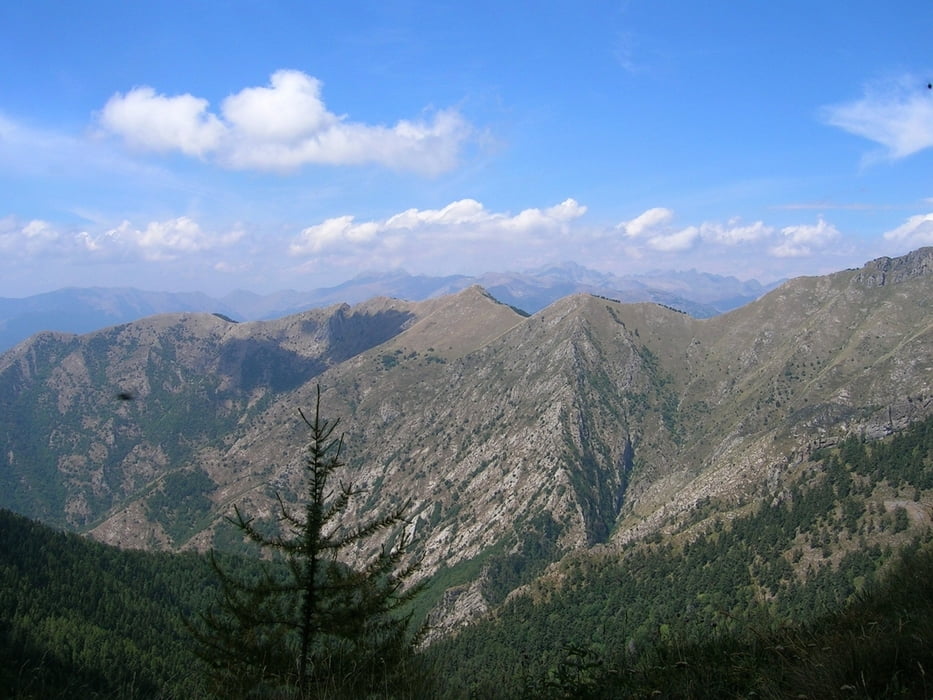

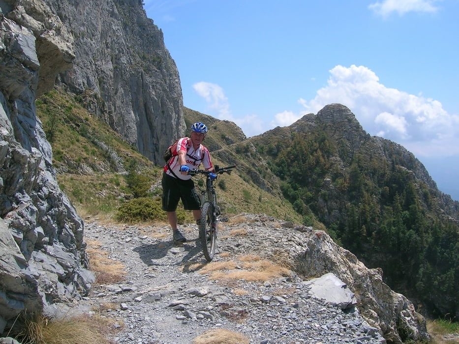
Der untere Teil des Grenzkamms südlich vom Monte Saccarello bis Ventimiglia überwiegend auf vorhandenen Trails. Teils ausgeschildert (italienisch: Alta Via dei Monti Liguri – AVML) und auch mit MTB (roter Pfeil mit 2 Punkten)
Tour in 2 Tagen:
Wer sich die Tour aufteilen möchte, kann versuchen an der Rifugio Gola di Gouta (1213 m)
Ristorante Gola Di Gouta
1 Regione Gouta, Pigna, IM 18037, Italien
+39 0184 241068
eine Übernachtung zu buchen.
1. Tag La Brique mit dem Zug von Ventimiglia und dann zum Baisse de Sanson mit Bike weiter bis Rifuggio Gola
2. Tag Weiterfahrt bis Ventimiglia
Further information at
http://de.wikipedia.org/wiki/Alta_Via_dei_Monti_LiguriGalerie du tour


Carte du tour et altitude
Minimum height 1 m
Maximum height 1961 m
More about the tour author

|
Freunde |
Commentaires

La Brigue, in Département Alpes-Maritimes, Provence-Alpes-Côte d'Azur, Frankreich
gut erreichbar mit dem Zug, der von Ventimiglia(I) aus Richtung Tende fährt.
Tracks GPS
Trackpoints-
GPX / Garmin Map Source (gpx) download
-
TCX / Garmin Training Center® (tcx) download
-
CRS / Garmin Training Center® (crs) download
-
Google Earth (kml) download
-
G7ToWin (g7t) download
-
TTQV (trk) download
-
Overlay (ovl) download
-
Fugawi (txt) download
-
Kompass (DAV) Track (tk) download
-
Feuille de tours (pdf) download
-
Original file of the author (gpx) download
More about the tour author
|
|
Freunde |
Add to my favorites
Remove from my favorites
Edit tags
Open track
My score
Rate