


Kombination von Münchner Radlring im Südwesten mit dem Isarradweg durch München.
Stationen :
Karlsfelder See (Bademöglichkeit)
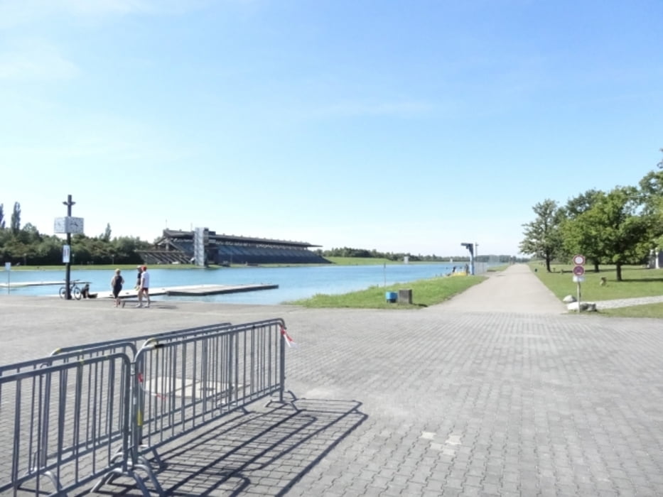
Ruderregatta-Strecke
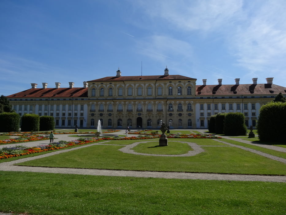
Schloß Schleissheim
Isarauen
Aumeister (Biergarten)
an der Isar durch die Innenstadt
Grünwalder Brücke (Einkehrmöglichkeit)
Forstenrieder Park
Forst Kasten
Planegg
Gräfelfing
an der Würm nach München (u.a. Blutenburg)
an der Würm zurück nach Karlsfeld
Galerie du tour

Carte du tour et altitude
Minimum height 473 m
Maximum height 592 m
More about the tour author

|
peter_p |
Commentaires

gestartet bin ich in Karlsfeld. Einstieg in diese Tour natürlich überall möglich.
Tracks GPS
Trackpoints-
GPX / Garmin Map Source (gpx) download
-
TCX / Garmin Training Center® (tcx) download
-
CRS / Garmin Training Center® (crs) download
-
Google Earth (kml) download
-
G7ToWin (g7t) download
-
TTQV (trk) download
-
Overlay (ovl) download
-
Fugawi (txt) download
-
Kompass (DAV) Track (tk) download
-
Feuille de tours (pdf) download
-
Original file of the author (gpx) download
More about the tour author
|
|
peter_p |
Add to my favorites
Remove from my favorites
Edit tags
Open track
My score
Rate